What is recorded here
Redington found a hidden roof aperture north-west of the cashel in 1916, likely serving as a secret escape route during siege. Stones had already choked the passage, blocking exploration and erasing its full shape. The cashel still stands, but its underground twin has vanished into earth and forgetting.
Somewhere to the NW of a cashel (GA103-055----). Redington (1916a, 52) recorded that outside the cashel ‘on the N.W. side, and at a much lower level, is an aperture in what was evidently the roof of a Man-made underground passage’. She suggested that this ‘may have been a method of egress from the fort’ and further notes that because it was filled with stones it was difficult to explore. Not located by the Survey. (McCaffrey 1952, 184-5, no. 91)
Compiled by: Galway Archaeological Survey, UCG
Date of upload: 9 January 2017
The monument record does not grant public access. Check the route and ask the landowner before entering private land.
- What survives
- Recorded monument
Places near here
 CahermoreFairy fort / stone ringfort · 371 yd
 CaherFairy fort / stone ringfort · 438 yd
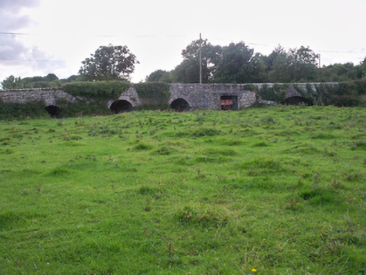 Dunkellin Bridgebridge · 1460 yd
 Dunkellin Castle (in ruins)Castle, tower house · 1553 yd
 St. Colmans Catholic ChurchChurch · 1.0 mi
 Castlegar (in ruins)Castle, unclassified · 1.0 mi
 Kilcornan WoodWood · 1.9 mi
 Kilcornan ForestWood · 1.9 mi
 Drumacoo Monastic SiteHeritage attraction · 3.8 mi
 Goose IslandIslet · 7.5 mi
 InishcorraIslet · 7.7 mi
 Ardfry PointHeadland · 7.9 mi