What is recorded here
No visible stones remain of the L-shaped passage inside the Brackloon rath, yet its long axis still cuts eleven and a half metres through the ground. Whoever dug it turned the earth rather than building a wall, hiding a route that could have carried people, water or memory beneath the mound. The shape preserves more than measurement because it records a choice: to go down, bend and continue instead of blocking the way.
Within the NW quadrant of a rath (GA085-011----). An L-shaped depression (L >20m.5m; Wth 3m; D 0.5-1.2m) indicates the site of a possible Man-made underground passage. The long axis (L 11.5m) runs NNE-SSW and the shorter axis (L 9m) extends from its S end and runs NE-SW. No stonework is visible.
Compiled by: Galway Archaeological Survey, UCG
Date of upload: 6 January 2017
The monument record does not grant public access. Check the route and ask the landowner before entering private land.
- What survives
- Recorded monument
Places near here
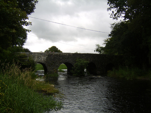 Raford Bridgebridge · 357 yd
 Raford Housefarmyard complex · 813 yd
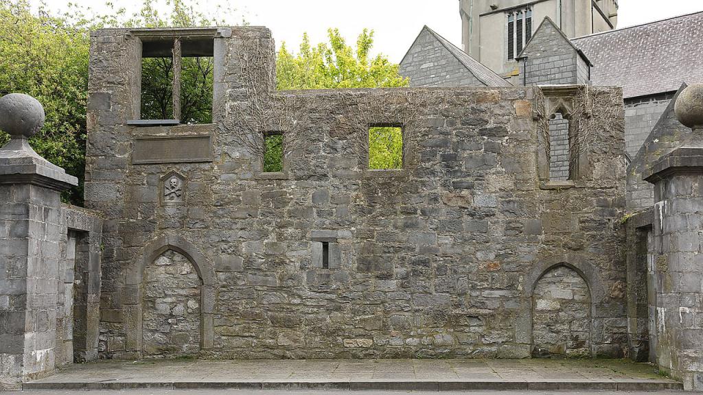 Ecclesiastical enclosure in KillescraghEcclesiastical enclosure · 1.3 mi
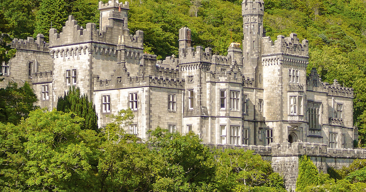 Tober ImorHoly well · 1.4 mi
 Galboley Castle (in ruins)Castle, unclassified · 2.2 mi
 Turoe StoneHeritage attraction · 2.4 mi
 Castle (in ruins)Castle, tower house · 3.8 mi
 Woodlawn WoodsForest · 4.7 mi
 European Crab AppleEuropean Crab Apple · 5.1 mi
 Dartfield Horse MuseumHeritage attraction · 6.1 mi
 Barrack IslandIslet · 6.1 mi
 Middle IslandIslet · 6.2 mi