What is recorded here
Situated at the outer edge of a rock outcrop terrace on a W-facing slope and SW of the centre of cashel (MO027-038----). This is a T-shaped depression, consisting of a narrow channel (dims 10.3m N-S; 2m E-W; max. D 0.7m), with a short central spur (dims 2.8m E-W; 3m N-S; max. D 0.8m) extending E, and it is probably a destroyed Man-made underground passage.
Compiled by: Michael Moore
Date of upload: 30 January, 2018
The monument record does not grant public access. Check the route and ask the landowner before entering private land.
- What survives
- Recorded monument
Places near here
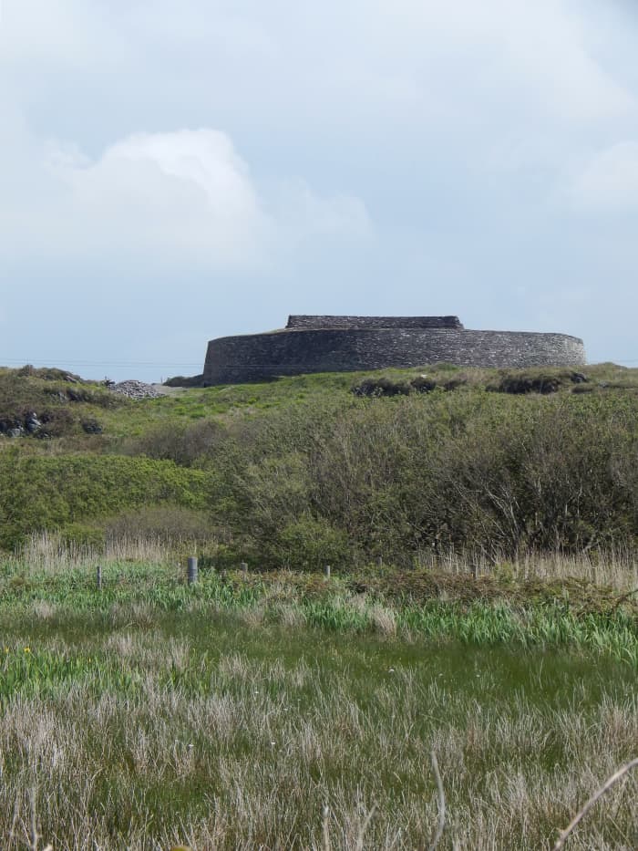 Fairy fort / stone ringfort in Bocks LowerFairy fort / stone ringfort · 12 yd
 IndicatedCrannog · 1105 yd
 Tally WoodWood · 1.1 mi
 mill (water)mill (water) · 1.2 mi
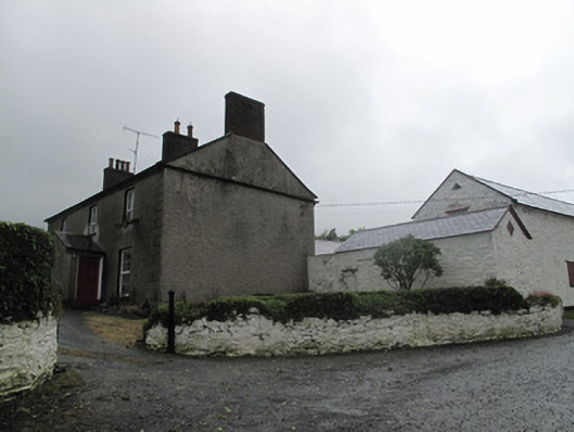 Farm Hillfarmyard complex · 1.2 mi
 Rock IslandIslet · 1.9 mi
 Gully IslandIslet · 1.9 mi
 TobernagalliaghSpring · 3.3 mi
 Fincarn HillMountain / peak · 3.6 mi
 RaferaghMountain / peak · 3.9 mi
 Sillan LakeshoreWood · 4.7 mi
 Mannan Castle (in ruins)Castle, Anglo-Norman masonry castle · 4.7 mi