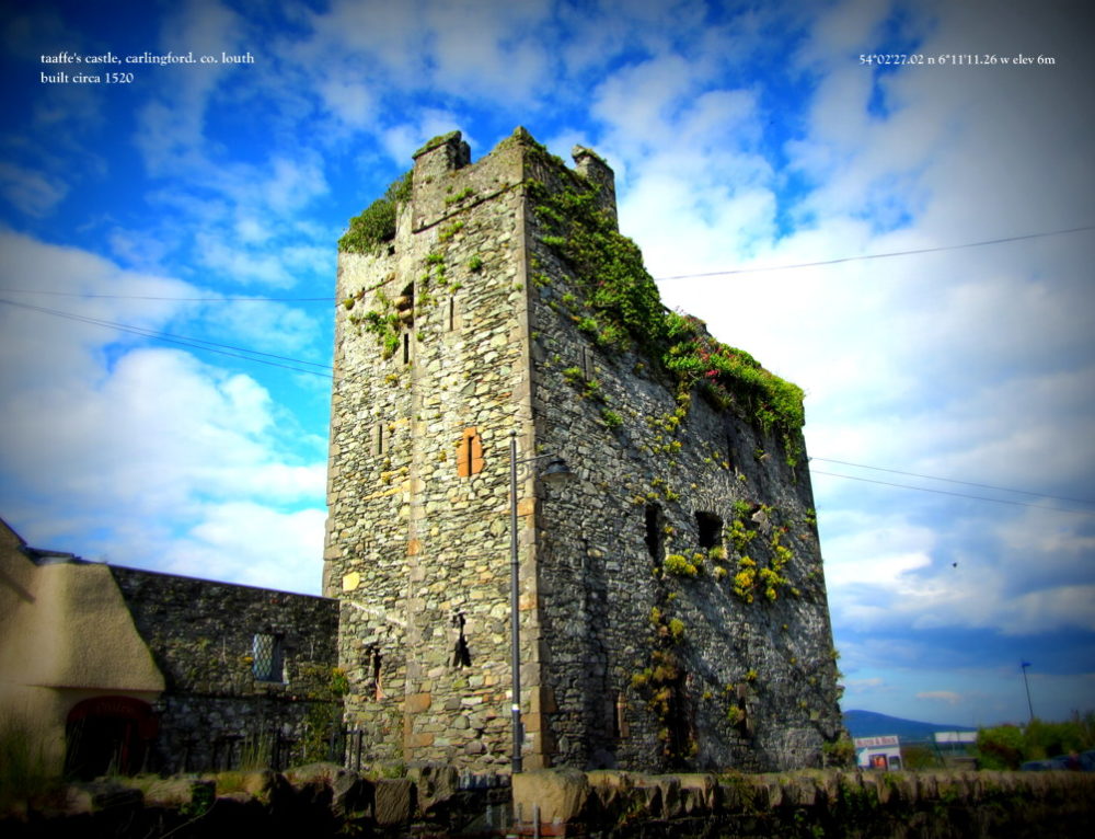
What is recorded here
Mullaghash holds two forts facing across a narrow gap where local tradition whispers about a hidden cave beneath the soil. People walked that gap for generations, listening for hollow sounds under their boots and imagining a dark tunnel linking the ridges. The story refuses to fade because the ground itself seems to answer, suggesting human hands shaped what nature merely covered.
The following description is derived from both the published 'Archaeological Inventory of County Louth' (Dublin: Stationery Office, 1986) and the 'Archaeological Survey of County Louth' (Dublin: Stationery Office, 1991). In certain instances the entries have been revised and updated in the light of recent research.
Date of upload/revision: 17 July 2007
Local traditions of a 'cave' between' the two 'forts' of Mullaghash (LH017-076---- and LH017-077----), and a 'hollow sound' in the ground suggest the possible presence of a Man-made underground passage.
The monument record does not grant public access. Check the route and ask the landowner before entering private land.
- What survives
- Recorded monument
Places near here
 Mount Oriel FortArchaeological place · 1655 yd
 Mount OrielMountain / peak · 1661 yd
 Belpatrick FortEnclosure · 1.1 mi
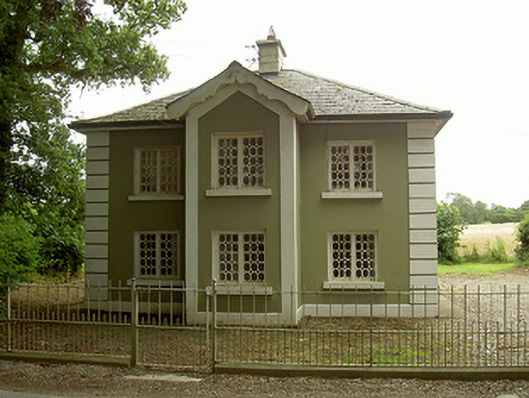 Ashvillegate lodge · 1.2 mi
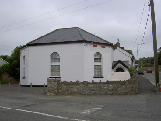 church/chapelchurch/chapel · 2.0 mi
 CastleCastle, tower house · 2.1 mi
 Valley WoodWood · 2.2 mi
 Black HillMountain / peak · 2.4 mi
 Not idicatatedCastle, unclassified · 2.5 mi
 Cloghar WoodForest · 2.9 mi
 Irish Military Museum And ParkMuseum · 3.3 mi
 Graveyard in StickillinGraveyard · 3.6 mi
Other information
Photo: Credit not shown in the picture search · Rights wording not checked; contact us if this picture should be removed