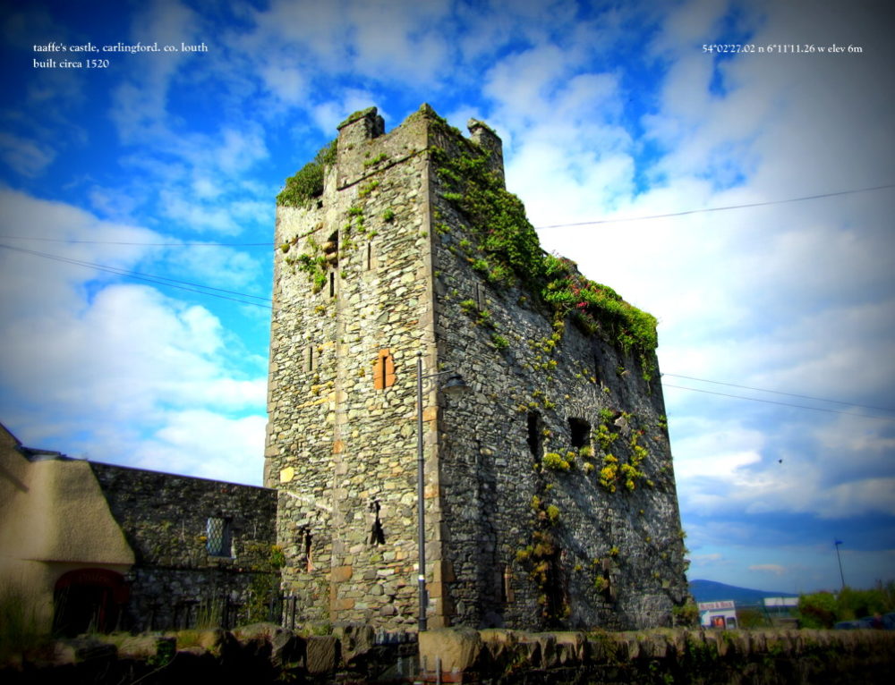
What is recorded here
The following description is derived from both the published 'Archaeological Inventory of County Louth' (Dublin: Stationery Office, 1986) and the 'Archaeological Survey of County Louth' (Dublin: Stationery Office, 1991). In certain instances the entries have been revised and updated in the light of recent research.
Date of upload/revision: 17 July 2007
Local traditions of a 'cave' between' the two 'forts' of Mullaghash (LH017-076---- and LH017-077----), and a 'hollow sound' in the ground suggest the possible presence of a Man-made underground passage.
The monument record does not grant public access. Check the route and ask the landowner before entering private land.
- What survives
- Recorded monument
Places near here
 Mount Oriel FortArchaeological place · 1655 yd
 Mount OrielMountain / peak · 1661 yd
 Belpatrick FortEnclosure · 1.1 mi
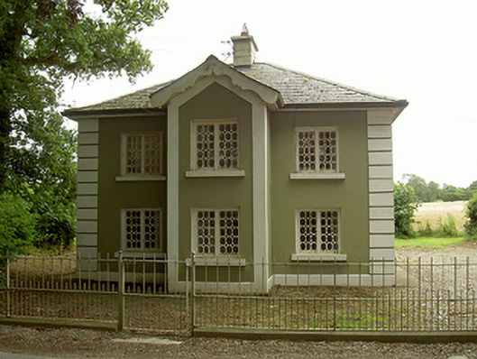 Ashvillegate lodge · 1.2 mi
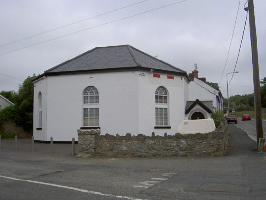 church/chapelchurch/chapel · 2.0 mi
 CastleCastle, tower house · 2.1 mi
 Valley WoodWood · 2.2 mi
 Black HillMountain / peak · 2.4 mi
 Not idicatatedCastle, unclassified · 2.5 mi
 Cloghar WoodForest · 2.9 mi
 Irish Military Museum And ParkMuseum · 3.3 mi
 Graveyard in StickillinGraveyard · 3.6 mi
Other information
Photo: Credit not shown in the picture search · Rights wording not checked; contact us if this picture should be removed