What is recorded here
In the interior of a poorly preserved cashel at the W end of the summit of a low E–W ridge of good mixed pasture and meadowland. A dense patch of vegetation in the N sector (4m E–W x 2m N–S), may indicate the presence of a Man-made underground passage.
Compiled by: Mary Tunney and Ros Ó Maoldúin
Date of upload: 15 December 2020
The monument record does not grant public access. Check the route and ask the landowner before entering private land.
- What survives
- Recorded monument
Places near here
 Saint Patrick's ChurchHeritage attraction · 276 yd
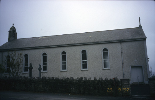 Saint Patrick's Catholic Churchchurch/chapel · 277 yd
 Enclosure in Abbey EastEnclosure · 1068 yd
 Caher of MortycloghFairy fort / stone ringfort · 1343 yd
 Abbey HillMountain / peak · 1369 yd
 Battle of Lough Raskabattle · 1412 yd
 Wall monumentWall monument, effigial · 1502 yd
 Corcomroe Abbey Geopark SiteVisitor information · 1541 yd
 Corcomroe AbbeyVisitor information · 1544 yd
 Muckinish Castle (in ruins)Castle, tower house · 1672 yd
 Muckinish PointHeadland · 1.3 mi
 The Russell GalleryGallery · 1.4 mi