What is recorded here
Situated on the summit of a low, roughly E-W ridge, the site utilising the downslope to the N and S, and the end of the ridge to the E. Aerial photograph (GB89.AB.18) shows cropmark of large circular enclosure (TN041-062) defined by two concentric fosses; some traces of internal detail including a linear fosse which may indicate the position of a Man-made underground passage.
The above aerial report has been compiled by Dr. G.F. Barrett and supplied to the Archaeological Survey of Ireland.
Date of this report: 06/11/09
Compiled by Caimin O'Brien
Date of upload / revision : 13 August 2010
The monument record does not grant public access. Check the route and ask the landowner before entering private land.
- What survives
- Recorded monument
Places near here
 Ceremonial enclosure in BeakstownCeremonial enclosure · 16 yd
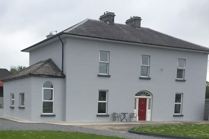 Habitation site in BeakstownHabitation site · 125 yd
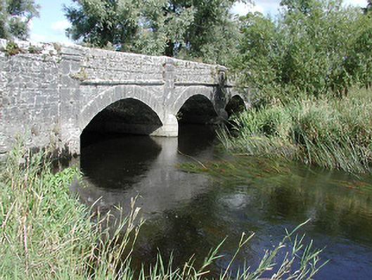 Cabragh Bridgebridge · 1549 yd
 Corn Mill (in ruins)Water mill, unclassified · 1573 yd
 Cormackstown Heritage CentreMuseum · 1690 yd
 IndicatedBawn · 1.1 mi
 Castle (in ruins)Bawn · 1.1 mi
 Wildlife CorridorWood · 1.7 mi
 Lár na PáirceMuseum · 1.8 mi
 WoodlandWood · 1.9 mi
 Killough Hill (site of)Mountain / peak · 3.8 mi
 Pallas HillMountain / peak · 5.0 mi