
What is recorded here
The following description is derived from both the published 'Archaeological Inventory of County Louth' (Dublin: Stationery Office, 1986) and the 'Archaeological Survey of County Louth' (Dublin: Stationery Office, 1991). In certain instances the entries have been revised and updated in the light of recent research.
Date of upload/revision: 17 July 2007
Isolated Man-made underground passage, discovered during foundation trenching of house garden in 1980. Modern entrance appears to be close to the original one. A passage runs SE from the entrance (L 11.2m, Wth 0.6m-1m, H 0.8m). Four metres from the end of the passage there is a small chamber to the E, with constricted entrance, (Wth 0.5m, H 0.7m). This chamber is sub-circular (max. dims. 1.3m by 1.1m, H 1m). At the SE end of the first passage the width increases to 1.5m and a drop-hole in the floor gives access to a second passage, running at a lower level in a SW direction. The passage widens gradually to form a sub-circular chamber at the SW end. The overall length of passage and chamber is 8.6m (H 0.8m-1.7m). Maximum width of chamber 1.7m. The entire Man-made underground passage is drystone-built, of local greywacke slabs, with larger stones at the base of the walling.
The monument record does not grant public access. Check the route and ask the landowner before entering private land.
- What survives
- Recorded monument
Places near here
 Enclosure in RathmoreEnclosure · 659 yd
 Church in BalrobinChurch · 716 yd
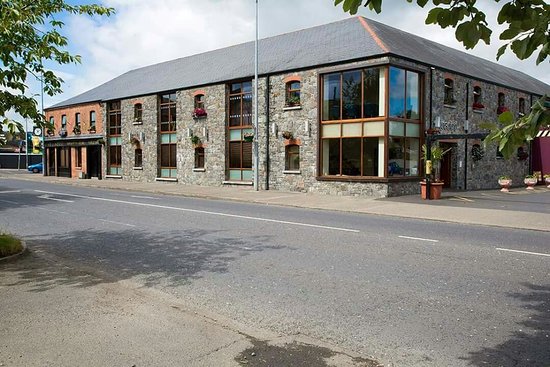 LisadaneFairy fort / earthen ringfort · 781 yd
 Catholic Church of the Immaculate Conceptionchurch/chapel · 1474 yd
 CastleCastle, unclassified · 1.4 mi
 Bawn in Shortstone EastBawn · 1.7 mi
 Sky HillMountain / peak · 2.9 mi
 Dundalk CentralHeritage attraction · 3.0 mi
 Photo GalleryHeritage attraction · 3.0 mi
 Maid of ErinMemorial · 3.4 mi
 Bombing 1975Memorial · 3.5 mi
 Ballsmill Amenity LandPicnic place · 3.5 mi
Other information
Photo: Credit not shown in the picture search · Rights wording not checked; contact us if this picture should be removed