What is recorded here
Situated on a fairly level landscape. Two sections of a Man-made underground passage passage came to light in preparing the S end of a football pitch. The two portions were aligned with each other and formed a single E-W passage (L 14m plus; Wth 1m; H 1.15m) that was blocked at the W end, collapsed in the centre but terminated without a chamber at the E end. It had straight walls that corbelled in a little at the top and it was roofed with lintels. (Rynne and Prendergast 1962, 39-40)
The above description is derived from the published 'Archaeological Inventory of County Meath' (Dublin: Stationery Office, 1987). In certain instances the entries have been revised and updated in the light of recent research.
Compiled by: Michael Moore
Date of upload: 10 July 2007
Revised: 29 March 29023
Rynne, E. and Prendergast, E. 1962 Two Man-made underground passages in Co. Meath. Ríocht na Mídhe vol. 2, No. 4, 31-40.
The monument record does not grant public access. Check the route and ask the landowner before entering private land.
- What survives
- Recorded monument
Places near here
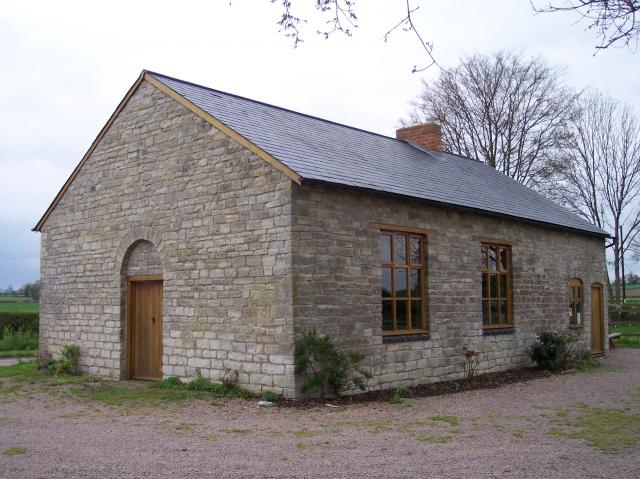 Site of Old ChapelChurch · 148 yd
 Field boundary in AthlumneyField boundary · 548 yd
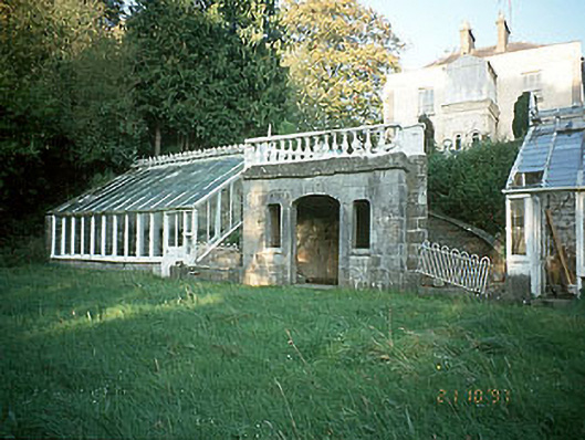 Boyne View Housesummerhouse · 596 yd
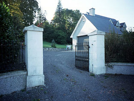 Belmount Housegates/railings/walls · 745 yd
 CastleCastle, motte · 1299 yd
 The RampartWood · 1.1 mi
 Fox CovertWood · 1.7 mi
 Nangle CourtMemorial · 2.1 mi
 Carn HillMountain / peak · 2.1 mi
 Donaghmore Round TowerHeritage attraction · 2.2 mi
 Assey CastleCastle, tower house · 3.2 mi
 BohermeenMountain / peak · 4.3 mi