What is recorded here
Located at the E edge of a gently rolling landscape with the ground sloping down to the sea shore c. 300m to the SE. There was reputed to be an underground cave or Man-made underground passage that was discovered in 1908 at the centre of the large enclosure (WX048-049----) (SMR file). It is not evident now.
Compiled by: Michael Moore
Date of upload: 3 January, 2014
The monument record does not grant public access. Check the route and ask the landowner before entering private land.
- What survives
- Recorded monument
Places near here
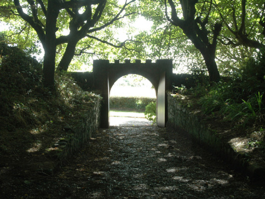 Ballytrent Housewalled garden · 4 yd
 milestone/milepostmilestone/milepost · 132 yd
 INdicatedFairy fort / earthen ringfort · 162 yd
 The Fairy Stone/RockNamed rock · 693 yd
 Hoar StoneArchaeological place · 1162 yd
 Shernock Hill/Knocks HillMountain / peak · 1380 yd
 Carne BeachBeach / strand · 1.4 mi
 Lifeboat MemorialMemorial · 1.5 mi
 Lady's IslandVisitor information · 1.7 mi
 Rosslare Harbour Maritime Heritage CentreMuseum · 1.7 mi
 TowerBawn · 1.7 mi
 Churchtown Beach / The Sandy GripeBeach / strand · 1.7 mi