What is recorded here
The official Northern Ireland record identifies this as Man-made underground passage. Recorded period: E.CHRIST.. The official map point was placed at the centre of the recorded archaeological site from the source map reference.
The monument record does not grant public access. Check the route and ask the landowner before entering private land.
- What survives
- Recorded monument
Places near here
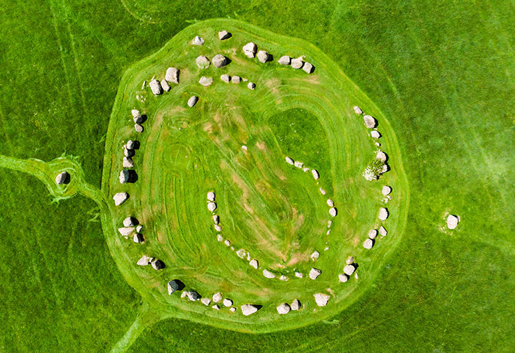 MEDIEVAL CHURCH: KILSCHAELYN in BallynoeMEDIEVAL CHURCH: KILSCHAELYN · 949 yd
 Ballynoe Stone CircleArchaeological place · 1365 yd
 STONE CIRCLE with CAIRN & OUTLYING STONES: BALLYNOE STONE CIRCLE in BallynoeSTONE CIRCLE with CAIRN & OUTLYING STONES: BALLYNOE STONE CIRCLE · 1368 yd
 Rathmullan Parish ChurchChurch · 1662 yd
 Castle ScreenCastle · 1.0 mi
 RATH & TOWER-HOUSE: CASTLESKREEN TOWER HOUSE in CastleskreenRATH & TOWER-HOUSE: CASTLESKREEN TOWER HOUSE · 1.1 mi
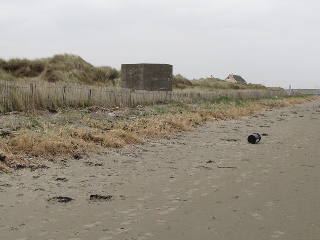 Tyrella BeachBeach / strand · 2.0 mi
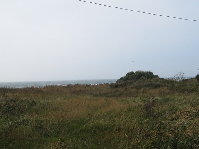 Rossglass BeachBeach / strand · 2.5 mi
 Hollymount ForestWood · 2.7 mi
 St. Patrick's GraveHeritage attraction · 3.3 mi
 Downshire Hospital Highway to HealthWalking route · 3.3 mi
 St. Patricks Visitor CentreMuseum · 3.3 mi