What is recorded here
Twenty-two metres of broken stone still twist through the dark beneath Ballynamanagh West, folding north, west and north again like a forgotten thought. The final chamber has collapsed into a shallow ridge of rubble, yet one lintel still bridges the gap above the debris. Whatever lived or hid in that turning passage left no name behind, only a shape the earth never learned to erase.
Within the SW quadrant of a rath (GA103-041----). This drystone-built Man-made underground passage (L 21.8m) is very ruined and has partially collapsed but four distinct sections of its roughly stepped ground plan are identifiable. The section (L 6.3m; Wth 3m) nearest to the enclosing bank runs SSW-NNE and is inaccessible. At its NNE end the passage (L 4m) turns and runs NW-SE. It turns again at NW and runs NE-SW (L 7m). The NE end culminates in a pile of stones (L 4.5m) running E-W. An exposed lintel is visible among this material. (McCaffrey 1952, 182, no. 6)
Compiled by: Galway Archaeological Survey, UCG
Date of upload: 5 January 2017
The monument record does not grant public access. Check the route and ask the landowner before entering private land.
- What survives
- Recorded monument
Places near here
 LisdooFairy fort / earthen ringfort · 1 yd
 Fulacht fia in BallynacourtyFulacht fia · 428 yd
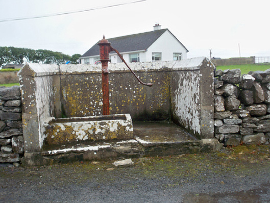 water pumpwater pump · 736 yd
 Mary Kate'shouse · 1306 yd
 CastleCastle, unclassified · 1399 yd
 Ballynacourty Court (in ruins)Castle, hall-house · 1.1 mi
 MweenisharanIslet · 1.4 mi
 Drumacoo Monastic SiteHeritage attraction · 1.8 mi
 Plumbtree FortArchaeological place · 1.9 mi
 Mweenish PointHeadland · 2.0 mi
 South WoodWood · 2.4 mi
 Goose IslandIslet · 2.8 mi