What is recorded here
This Man-made underground passage was discovered in 2001 during archaeological excavations in advance of the N25 Youghal Bypass. The earth-cut Man-made underground passage was located within the SW quadrant of an enclosure (CO067-086----), to the N of a circular structure (CO067-086001-). It comprised four main chambers that formed a roughly horse-shoe shape in plan. The first two chambers, one at E and the other at N, were uncovered in the E arm of the Man-made underground passage. The E chamber (6.1m N-S; max. Wth 2.3m; H 1.28m) consisted of sharp vertical sides and a flat base. A rounded termination to the N end of the chamber, where it met the second chamber, along with a sharp bump in the ground may have formed part of an entrance feature. Similar to the E chamber, the N chamber (5.7m E-W; Wth 0.96m; H 0.96) had sharp vertical sides and a flat base. This chamber became wider (max. Wth 1.25m) and deeper (max. D 1.13m) at the NW where it met with the W arm of the Man-made underground passage. Two chambers were uncovered in this W arm, one at the W and the other at the S. The W chamber (max. L 3.6m N-S; max. Wth 2m; max. H 1.8m) was roughly rectangular in plan with sharp sides and a flat base. It was connected to the E arm by a narrow creepway at the N. A shelf (L 1.5m; Wth 0.95m) in the W side of the chamber may have been a side exit. The fourth chamber (L 3.4m SE-NW; max. H 0.83m) to the S had sharp sides and a flat base. The height of the chamber decreased (H 0.53m) at the S end and this would appear to have been the entrance area to the Man-made underground passage (Noonan et al. 2004, 18). A patchy, possible clay floor lining was found in the W arm. Similar to another Man-made underground passage (CO067-086004-), excavated c. 20m to the E, it is possible that the Man-made underground passage was timber lined, though no evidence of this survived (ibid., 19). According to the excavators (ibid.), it is also possible that the Man-made underground passage may have been stone lined and the stone may have been robbed out for use elsewhere. (Noonan 2003e, 29-30; Noonan et al. 2004)
The above description is derived from 'The Archaeological Inventory of County Cork. Volume 5' (Dublin: Stationery Office, 2009).
Date of upload: 22 December 2009
The monument record does not grant public access. Check the route and ask the landowner before entering private land.
- What survives
- Recorded monument
Places near here
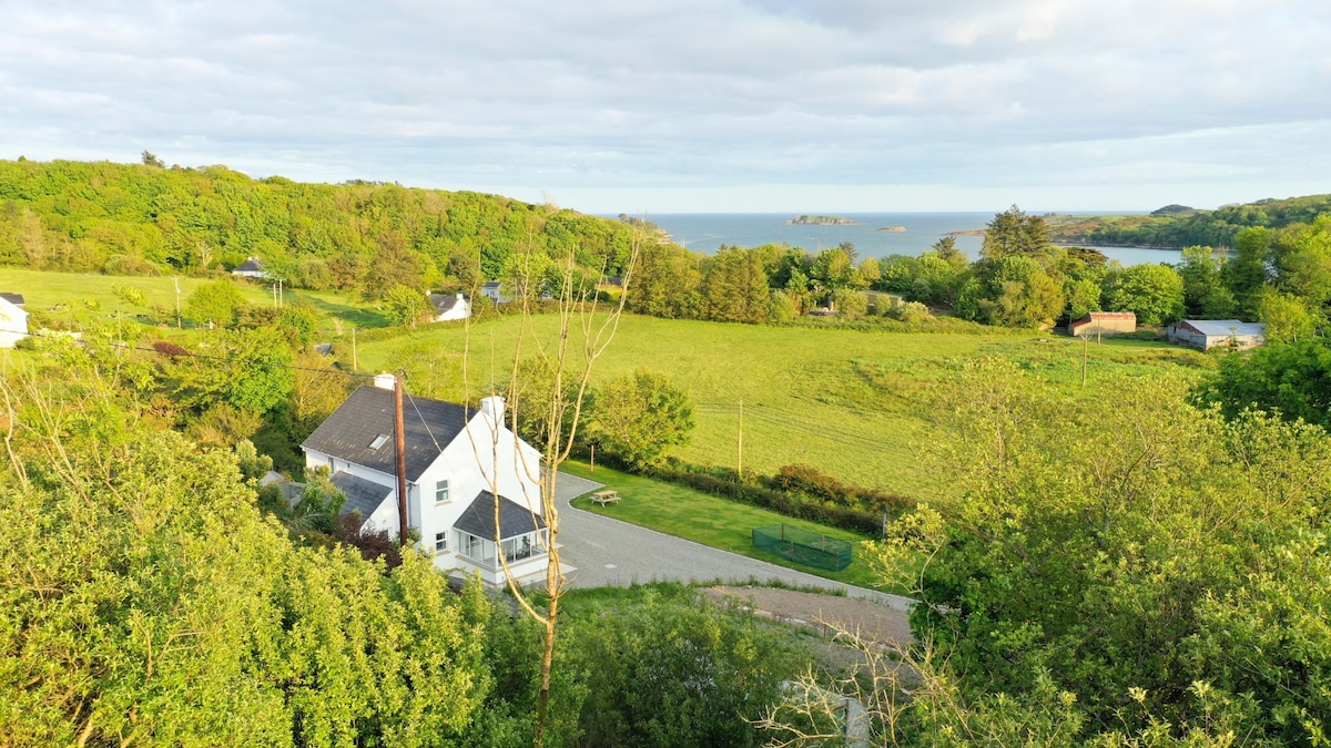 Enclosure in Ballynacarriga (imokilly By., Youghal Par.)Enclosure · 8 yd
 KilnKiln, corn-drying · 43 yd
 Heathfield TowersCountry house · 407 yd
 Youghal Foxhole Loop walkWalking route · 1.0 mi
 Collegiate Church of Saint MaryHeritage attraction · 1.3 mi
 European YewEuropean Yew · 1.3 mi
 English hollyEnglish holly · 1.3 mi
 Town WallHeritage attraction · 1.3 mi
 G YdGraveyard · 1.3 mi
 Our Lady's CollegeMemorial · 1.3 mi
 Emmet PlaceMemorial · 1.4 mi
 Priory Court Car ParkVisitor information · 1.4 mi