
What is recorded here
Marked 'cave' on Archaeological Survey of Ireland field map (Set 2, 1966-67).
Compiled by: Claire Breen
Date of upload: 17 November 2011
The monument record does not grant public access. Check the route and ask the landowner before entering private land.
- What survives
- Recorded monument
Places near here
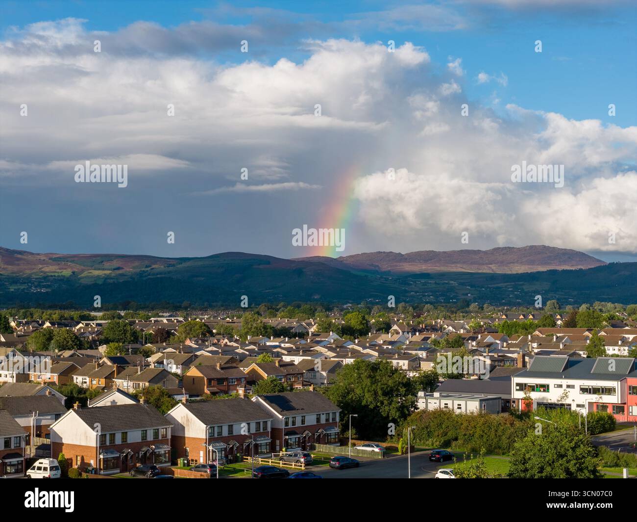 Sweathouse in DoolargySweathouse · 401 yd
 Man-made underground passage in DoolargyMan-made underground passage · 457 yd
 Saint Mary's Roman Catholic Churchchurch/chapel · 766 yd
 presbytery/parochial/curate's housepresbytery/parochial/curate's house · 873 yd
 Drumisnagh HillMountain / peak · 1084 yd
 Trumpet HillMountain / peak · 1259 yd
 Proleek DolmenArchaeological place · 1.0 mi
 CastleCastle, tower house · 1.3 mi
 Cooley MountainsMountain range · 2.2 mi
 Soldiers' PointHeadland · 2.4 mi
 Long Woman's GraveArchaeological place · 2.5 mi
 Battle of FaughartMajor battlefield · 2.5 mi
Other information
Photo: Credit not shown in the picture search · Rights wording not checked; contact us if this picture should be removed