What is recorded here
In a farmyard. According to local information, the roof lintels of a ‘cave’ were discovered during land reclamation. The landowner sealed it in the early 1960s to prevent injury to livestock. No visible surface trace survives. A possible cashel lies c. 25m to the SW.
Compiled by: Galway Archaeological Survey, UCG
Date of upload: 6 September 2019
The monument record does not grant public access. Check the route and ask the landowner before entering private land.
- What survives
- Recorded monument
Places near here
 Enclosure in BallynamanninEnclosure · 542 yd
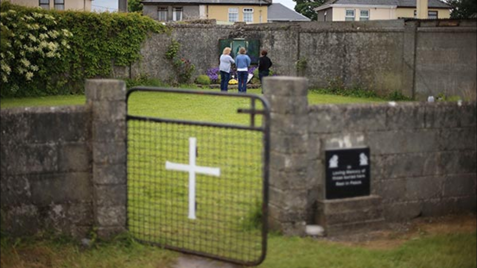 Cist GraveHouse, indeterminate date · 598 yd
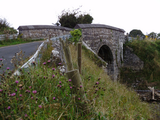 bridgebridge · 617 yd
 Ardnamoran ChurchChurch · 1359 yd
 CarnanthomasCastle, unclassified · 1.2 mi
 Cloghroak Castle (in ruins)Castle, tower house · 1.5 mi
 Moyard WoodWood · 4.8 mi
 Kilcornan WoodWood · 5.4 mi
 Drumharsna CastleHeritage attraction · 5.6 mi
 Scalpeen RockNamed rock · 7.0 mi
 MweenisharanIslet · 8.4 mi
 Mulroney's IslandIslet · 9.1 mi