What is recorded here
Ballykenefick is an earth-cut underground passage inside a levelled rath in County Cork, Ireland. A plough broke the ground in June 2003, opening two narrow ways, one toward the south-west and one sloping east into darkness. The east way may reach a chamber no one has seen since the collapse.
In a levelled rath (CO100-023----). This earth-cut Man-made underground passage was discovered in June 2003 when the ground collapsed during ploughing. The collapsed opening (0.75m x 0.7m) revealed two passages, one leading to the SSW and the second to the E. The former (min. L 1.1m) had a rounded roof, 0.6m below ground level and was inaccessible due to collapsed earth. The second passage (min. L 1.6m) slopes steeply down to the E into a possible chamber that was also inaccessible. (Ryall 2003b)
The above description is derived from 'The Archaeological Inventory of County Cork. Volume 5' (Dublin: Stationery Office, 2009).
Date of upload: 22 December 2009
The monument record does not grant public access. Check the route and ask the landowner before entering private land.
- What survives
- Recorded monument
Places near here
 rectory/glebe/vicarage/curate's houserectory/glebe/vicarage/curate's house · 838 yd
 Enclosure in Ballyshane (imokilly By.)Enclosure · 1049 yd
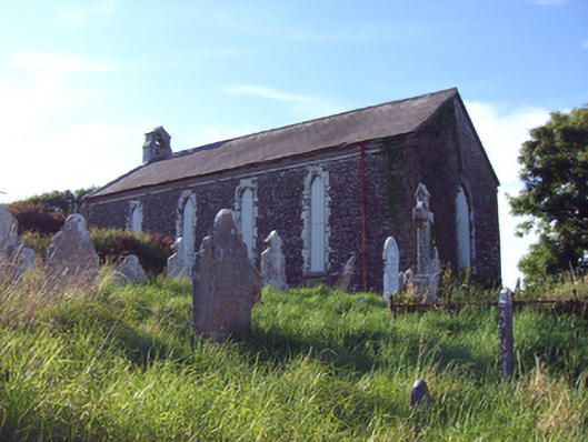 church/chapelchurch/chapel · 1071 yd
 Prehistoric sitePrehistoric site, lithic scatter · 1076 yd
 RobertMemorial · 1751 yd
 InchBeach / strand · 1.0 mi
 Fossil Worm TrackNamed rock · 1.1 mi
 Anchor The SagaMemorial · 1.2 mi
 Doonpower (in Ruins)Castle, unclassified · 1.3 mi
 Ballybrannigan BeachBeach / strand · 1.5 mi
 Trabolgan Holiday VillageHeritage attraction · 3.2 mi
 CastleCastle, unclassified · 3.2 mi