What is recorded here
A blocked opening to a Man-made underground passage (KE097-001001-) is located at its external base at NW.
The above description is derived from A. O'Sullivan and J. Sheehan (compilers), 'The Iveragh peninsula: an archaeological survey of South Kerry'. Cork University Press (1996), no. 451. In certain instances the entries have been revised and updated in the light of recent research.
Date of upload: 28 July 2013
The monument record does not grant public access. Check the route and ask the landowner before entering private land.
- What survives
- Recorded monument
Places near here
 Cuas an tSrutháin/Cove of the StreamBay · 397 yd
 Tráigh LeagaighBeach / strand · 448 yd
 Cuas na gCré BhuíBay · 457 yd
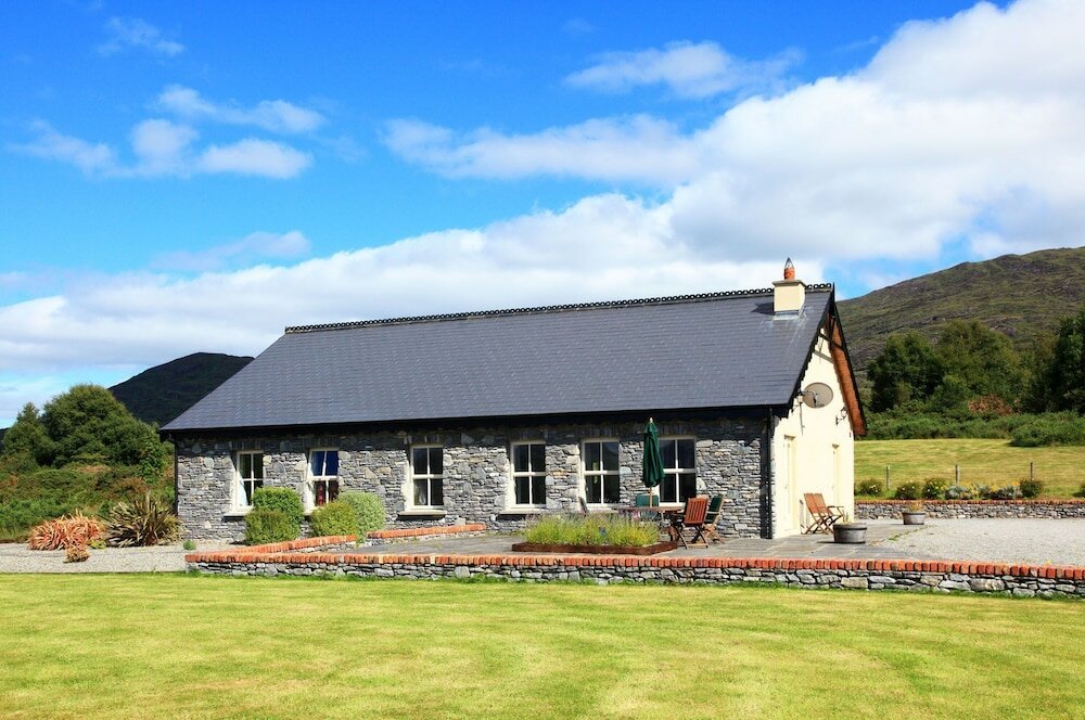 Cill MhaolmhuirneArchaeological place · 714 yd
 Indicated (1846).Hut site · 766 yd
 Tráigh na CilleBeach / strand · 827 yd
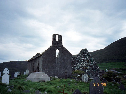 Séipéal na Cille [Killemlagh Catholic Chapel]church/chapel · 848 yd
 Cuas a' PhúcaCave · 916 yd
 Chaytor's StablesRuins · 1351 yd
 KillurlyMountain / peak · 1387 yd
 Bogha SínMountain / peak · 1.9 mi
 Liberator "63939" monumentMemorial · 1.9 mi