
What is recorded here
For descriptive account see O'Sullivan and Sheehan (1996, 409, no. 1329).
The above description is derived from the published 'Archaeological Inventory of County Kerry. Volume I: South-West Kerry' (Dublin: Stationery Office, 2009). In certain instances the entries have been revised and updated in the light of recent research.
Date of upload: 30 May 2011
The monument record does not grant public access. Check the route and ask the landowner before entering private land.
- What survives
- Recorded monument
Places near here
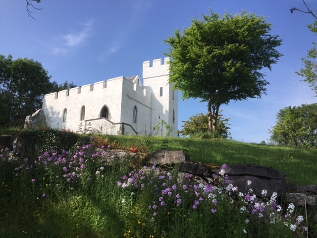 CarraigínCliff · 440 yd
 Tráigh LeagaighBeach / strand · 460 yd
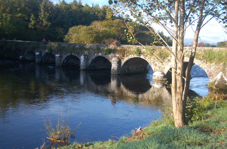 BullánCliff · 486 yd
 Radial-stone enclosure in Cill Ón ChathaRadial-stone enclosure · 606 yd
 Chaytor's StablesRuins · 726 yd
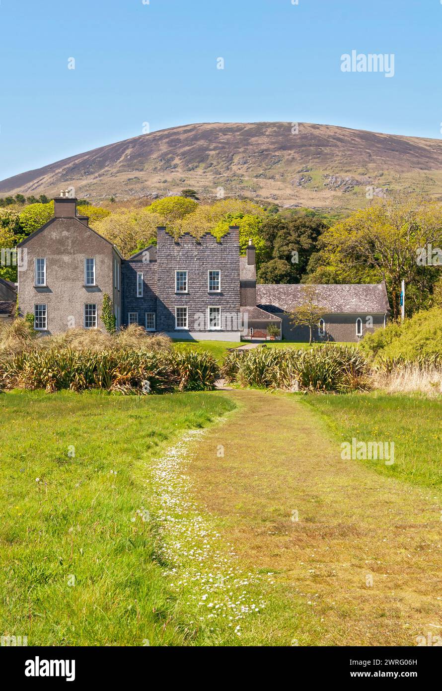 IndicatedEcclesiastical enclosure · 761 yd
 KillurlyMountain / peak · 1310 yd
 Tráigh na CilleBeach / strand · 1394 yd
 Cuas a' PhúcaCave · 1413 yd
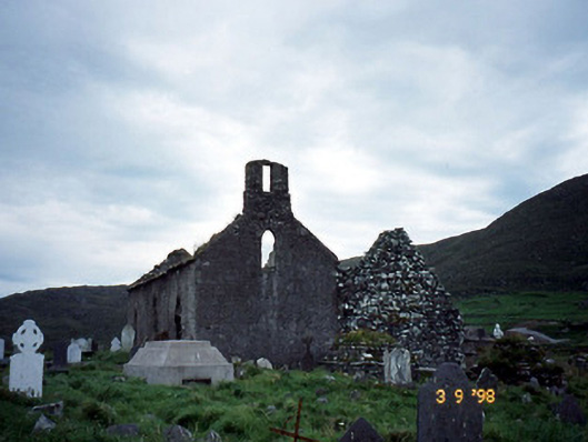 Séipéal na Cille [Killemlagh Catholic Chapel]church/chapel · 1561 yd
 Bogha SínMountain / peak · 1.5 mi
 Liberator "63939" monumentMemorial · 1.5 mi
Other information
Photo: Credit not shown in the picture search · Rights wording not checked; contact us if this picture should be removed