
What is recorded here
Lewis (1837, 649) recorded the discovery, in the vicinity of Ballintaggart burial ground (KE053-033003-), of 'several small circular cells ... constructed of stone work and communicating with each other'. They were entered by means of a descent of several steps and were 'supposed to have formed an ancient reservoir'. The 'cave' marked in Lough townland on the 1st edition of the OS map was closed up when visited by the OS, but, on the basis of local information, it was taken to be the structures referred to by Lewis (OSM). However, about three-quarters of a mile to NE, in 'the well field' in Ballintaggart townland, is a disused well which may alternatively be that recorded by Lewis. If so, it is uncertain whether or not there was another well, or perhaps a Man-made underground passage, in Lough townland at the above co-ordinates. The well in Ballintaggart consists of a large, underground, drystone-built chamber roofed by large flags. Access is by means of a flight of stone steps. The floor of the chamber is filled in with loose stones and is flooded at present.
The above description is derived from J. Cuppage, ‘Corca Dhuibhne. Dingle Peninsula archaeological survey. Ballyferriter. Oidhreacht Chorca Dhuibhne’ (1986), no. 780. In certain instances the entries have been revised and updated in the light of recent research.
Date of upload: 7 August 2013
The monument record does not grant public access. Check the route and ask the landowner before entering private land.
- What survives
- Recorded monument
Places near here
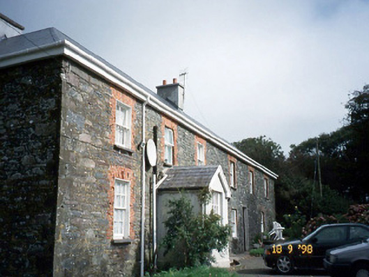 Lough Househouse · 57 yd
 GarrynabraherBuilding · 435 yd
 Hussy's FollyHeritage attraction · 588 yd
 Enclosure in Baile An Tsagairt (tc Na Gleannta)Enclosure · 624 yd
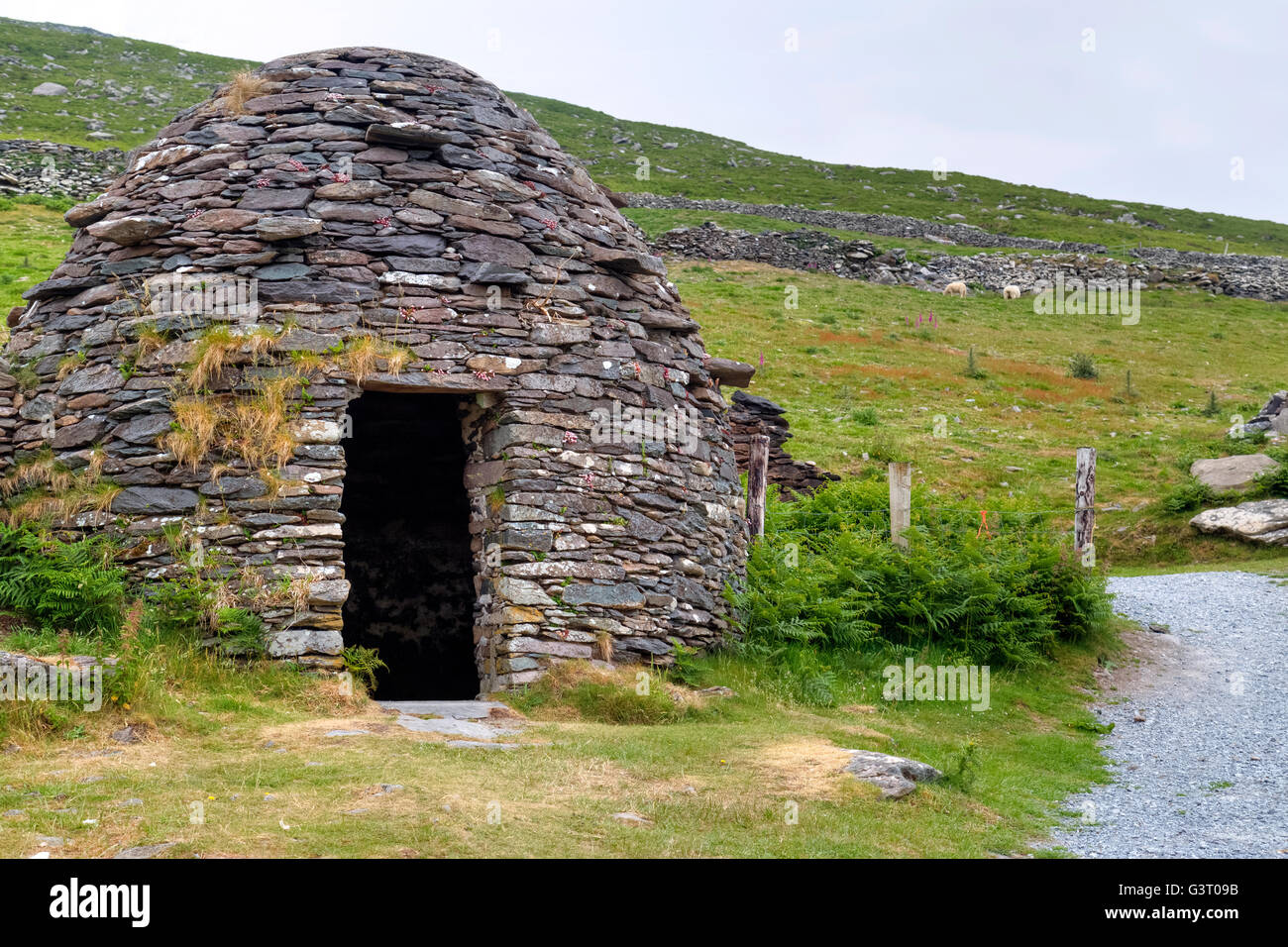 Hut site in An LochHut site · 629 yd
 10Cliff · 939 yd
 Ballintaggart Ogham StonesVisitor information · 992 yd
 Memorial to all who lost their lives in our seas.Memorial · 1.0 mi
 40Cliff · 1.0 mi
 Charles HaugheyMemorial · 1.1 mi
 Caol Cronin - SeascapesGallery · 1.1 mi
 Castle (Site of)Castle, tower house · 1.1 mi
Other information
Photo: Credit not shown in the picture search · Rights wording not checked; contact us if this picture should be removed