What is recorded here
Kinahan recorded a T-shaped passage at An Ghabhail in 1889, but only a narrow 1.9m stretch remains visible beneath the pasture slope. The surviving cavity is barely high enough for a crouching person, yet its large slab walls still mark the deliberate hands that built it. The rest has vanished, leaving a broken shadow where a complete underground room once stood.
The 'Cashel' (DG035-012001-) marked here on the 2nd and 3rd editions of the OS 6-inch maps has been largely destroyed. Part of the T-shaped Man-made underground passage (Kinahan 1889, 280) is visible. It is now c. 1.8m wide, c. 0.6m high and is open for a stretch c. 1.9m long. The walls and roof are formed from large slabs. The site, a partly artificial platform, is located on a slope in good pasture.
The above description was derived from the 'Archaeological Survey of County Donegal. A description of the field antiquities of the County from the Mesolithic Period to the 17th century.' Compiled by: Brian Lacey with Eamon Cody, Claire Cotter, Judy Cuppage, Noel Dunne, Vincent Hurley, Celie O'Rahilly, Paul Walsh and Seán Ó Nualláin (Lifford: Donegal County Council, 1983). In certain instances the entries have been revised and updated.
Date of upload: 22 September 2008
The monument record does not grant public access. Check the route and ask the landowner before entering private land.
- What survives
- Recorded monument
Places near here
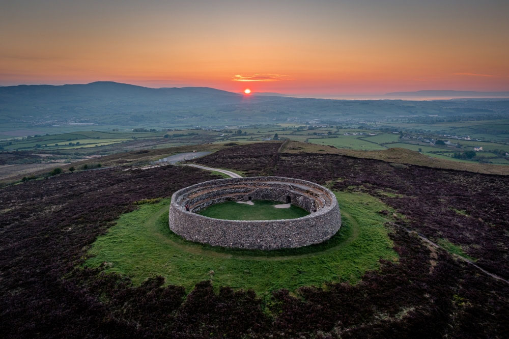 An Ghabhail Stone Ringfort and Man-made underground passageFairy fort / stone ringfort · 8 yd
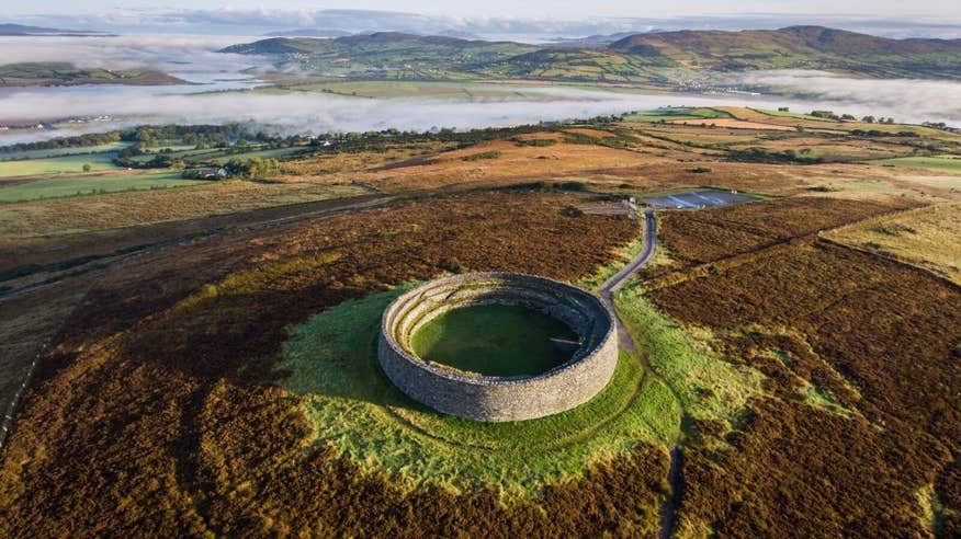 An Ghabhail Earthen RingfortFairy fort / earthen ringfort · 463 yd
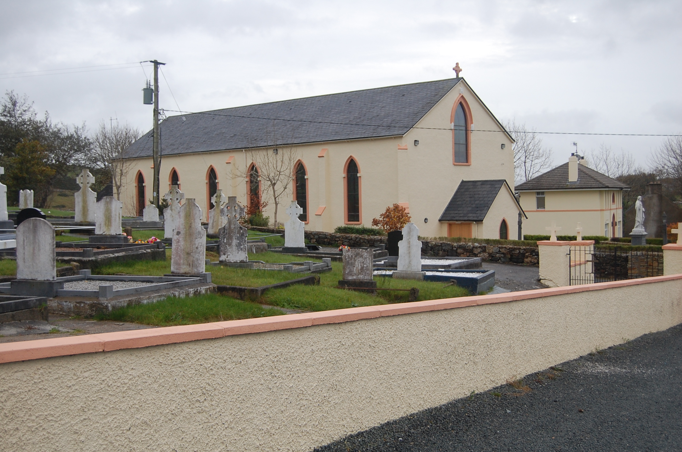 Saint Columba's Catholic Churchchurch/chapel · 1418 yd
 Loughsalt MountainMountain / peak · 2.0 mi
 Church of St. Finian and St. Markchurch/chapel · 2.3 mi
 Castle (Site of)Castle, unclassified · 2.4 mi
 Silver BirchSilver Birch · 2.5 mi
 Master Sword in StoneHeritage attraction · 3.0 mi
 BallykeeranForest recreation place · 3.1 mi
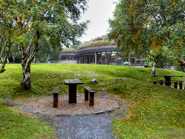 Glenveagh National Park Visitor CentreVisitor information · 4.9 mi
 Glebe House and GalleryHeritage attraction · 5.2 mi
 Stackarnagh Abbey GraveyardGraveyard · 6.6 mi