What is recorded here
An Dún: This unusual site is located in an exposed position about 350m E of the summit of Slieve-donagh/Sliabh an Dúna (937 feet/286m).
Near the centre of the E platform is a partly drystone-lined depression, c. 2m long x .8m wide x .85m deep. This may have been part of a Man-made underground passage KE051-005005- but classification is not certain.
The above description is derived from J. Cuppage, ‘Corca Dhuibhne. Dingle Peninsula archaeological survey. Ballyferriter. Oidhreacht Chorca Dhuibhne’ (1986), no. 1521. In certain instances the entries have been revised and updated in the light of recent research.
Date of upload: 5 August 2013
The monument record does not grant public access. Check the route and ask the landowner before entering private land.
- What survives
- Recorded monument
Places near here
 Cliff-edge fort in An Blascaod MórCliff-edge fort · 37 yd
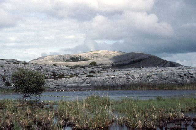 An Mullach RamharMountain / peak · 432 yd
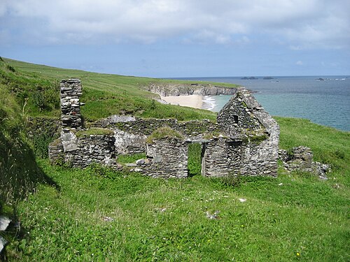 An Blascaod MórIsland · 441 yd
 An Cró MórMountain / peak · 1728 yd
 Megalithic structure in An Blascaod MórMegalithic structure · 1.2 mi
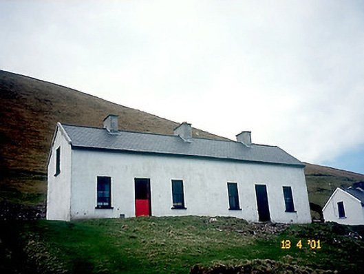 Tigh Peig Sayers [Peig Sayers's House]house · 1.3 mi
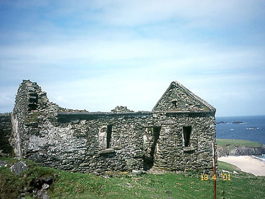 Tigh Muirs Ó Suilleabháin [Maurice O'Sullivan's House]house · 1.3 mi
 Oileán na nÓgIslet · 2.3 mi
 An Dún MórHeadland · 2.7 mi
 Dunmore HeadViewpoint · 2.8 mi
 Mionnán an DúnaHeadland · 3.1 mi
 Inis TuaisceartIsland · 3.1 mi