What is recorded here
Undergrowth now strangles the entrance, but displaced roof slabs and inner stone walling still mark a deliberate passage on the south-facing slope west of Beenalaght. Someone cut through that hillside, perhaps to keep dry in storms, hide goods or reach a hidden chamber. The closure may be recent, casual or forced by fallen stone. What is known is that human hands shaped the dark, and the hill has spent years taking the work back.
On S-facing slope, on W side of Beenalaght settlement. Heavily overgrown; possible roof slabs exposed and partially displaced. Stone walling visible within; interior inaccessible.
The above description is derived from the published 'Archaeological Inventory of County Cork. Volume 4: North Cork' (Dublin: Stationery Office, 2000). In certain instances the entries have been revised and updated in the light of recent research.
Date of upload/revision: 14 January 2009
The monument record does not grant public access. Check the route and ask the landowner before entering private land.
- What survives
- Recorded monument
Places near here
 Fulacht FiadhFulacht fia · 1600 yd
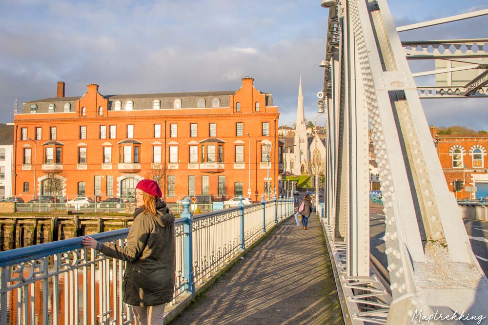 Monkeys BridgeBridge · 1.6 mi
 Man-made underground passage in Gowlane SouthMan-made underground passage · 1.7 mi
 Knockduff Wind FarmVisitor information · 2.0 mi
 New TipperaryVisitor information · 2.2 mi
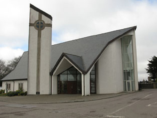 church/chapelchurch/chapel · 2.5 mi
 Bweeng LittleMountain / peak · 3.1 mi
 Saint Bartholomew's WellSpring · 3.5 mi
 Lyradane MountainMountain / peak · 4.2 mi
 Ballyvodane Castle (in Ruins)Castle, unclassified · 4.4 mi
 Castle Barrett (in Ruins)Castle, Anglo-Norman masonry castle · 5.9 mi
 Mount Hillary - Mount Hillary LoopWalking route · 7.6 mi