
What is recorded here
In rough poorly drained grazing land, on a terrace on the W facing slope of rising ground in upland area with good views of Rossan Point to the NW with small river stream immediately to the SE. Good view of Cloghanmore court tomb located 480m to the south-west. Present remains consist of a roughly circular area (int. diam. c. 17.1m) enclosed by a poorly preserved heather covered drystone wall (wall H 0.8m; T 1.8m-2.1m) which is best preserved at SE side where it overlooks the small mountain stream. On this side the dry stone wall survives three to four courses high but elsewhere the cashel wall has been reduced to a low scarp. According to local information this cashel was known locally as 'Caiseal an Oir' or the Cashel of Gold. Overt he years the interior of the cashel has been greatly disturbed by digging resulting in several quarry holes the remains of which can still be seen today
Málainn Mhóir Stone Ringfort is a circular earthwork enclosure, likely dating to the early medieval period, associated with Gaelic farming or habitation. Local tradition links it to fairy lore, with the name possibly reflecting a connection to the "Great Málainn," a term sometimes linked to supernatural or ancestral figures in Irish folklore.
The monument record does not grant public access. Check the route and ask the landowner before entering private land.
- What survives
- Recorded monument
Places near here
 Cloghacorra / Glenmalin Standing StoneStanding stone · 454 yd
 Chambered cairn, GlenmalinPublicly named cairn; age not proved by this picture · 528 yd
 Glencolmcille Folk VillageMuseum · 1741 yd
 An Trá Bheag (Trá Bheag an Ghleanna)Beach / strand · 1.0 mi
 Teach Pobail Naomh Columbachurch/chapel · 1.2 mi
 Trá an GhleannaBeach / strand · 1.2 mi
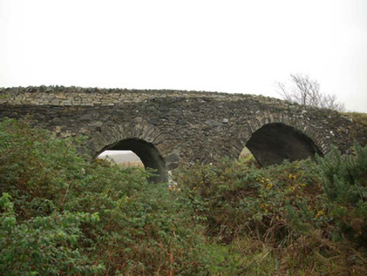 Droichead an tSráidbridge · 1.3 mi
 Glencolmcille Old GraveyardGraveyard · 1.5 mi
 Rossan PointHeadland · 2.3 mi
 Silver Strand ViewpointViewpoint · 2.4 mi
 Slieve LeagueMountain / peak · 3.2 mi
 Slieve League SE TopMountain / peak · 3.6 mi
Other information
Photo: Credit not shown in the picture search · Rights wording not checked; contact us if this picture should be removed