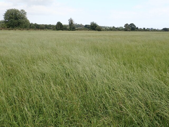
What is recorded here
Maghera Church and Round Tower stands in County Down, Ireland, marking an early church founded by St Domongart. The granite tower survived centuries until a great storm felled it in the early 18th century, leaving a five-metre stump beside a medieval ruin and cross-carved stones. A deep ditch still encloses the site, preserving the shape of a much larger sacred place beneath the ordinary graveyard.
Maghera Church and Round Tower is recorded as a archaeological place in County Down. Its open map record supplies this location and any linked names or public references.
Places near here
 Maghera Parish ChurchChurch · 33 yd
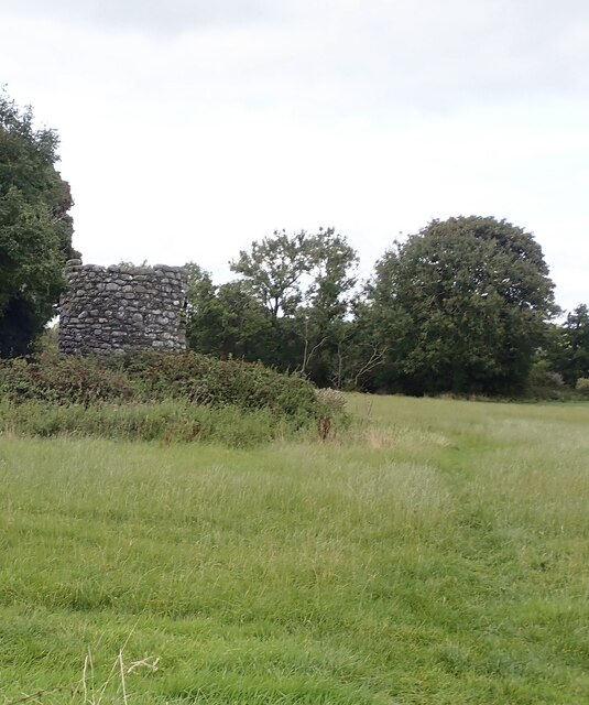 Maghera Church & Round TowerVisitor information · 42 yd
 MAGHERA CHURCH AND ROUND TOWER in CarnacavillMAGHERA CHURCH AND ROUND TOWER · 57 yd
 ENCLOSURE in CarnacavillENCLOSURE · 545 yd
 CROSS-CARVED STONE in CarnacavillCROSS-CARVED STONE · 1135 yd
 Wild Forest LaneWalking route · 1518 yd
 Drumee CemeteryWalking route · 1.3 mi
 Tollymore Forest Park EntranceNature reserve · 1.3 mi
 Murlough Nature ReserveNature reserve · 1.4 mi
 Twelve Arches Recreation AreaPicnic place · 1.4 mi
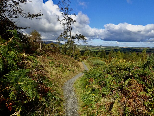 Bunkers HillMountain / peak · 1.8 mi
 CASTLE (destroyed) in Murlough UpperCASTLE (destroyed) · 1.9 mi
Other information
Photo: Eric Jones · CC BY-SA 2.0