What is recorded here
Mortons and Kinnarums both claim Loughgirroga Fort, which is a stone ring on a low hazel-covered rise in County Clare. The circle measures about thirty metres across and keeps a second shallow stone line outside its north-west edge. No door or finished wall remains visible, so the fort still withholds the shape of the life it once enclosed.
Situated on a low rise within hazel woodland. Listed as 'Enclosure' in the SMR (1992) and the RMP (1996). A subcircular area (int. dims. 31.6m NE-SW; 28m NW-SE) defined by a stone spread (Wth 3-5.6m; int. H 0.3-1m; ext. H 0.5-1m). No facing stones can be identified and there is no visible entrance. Outside the perimeter at NW there is a second stone spread (Wth 3.5m; H 0.5m).
Compiled by: Michael Moore
Date of upload: 24 May 2016
Loughgirroga Fort is a subcircular early-medieval ringfort, likely dating to between the 6th and 10th centuries AD, characterized by a stone bank and ditch. Local tradition associates such sites with fairy dwellings, and it may have been considered a place of supernatural significance in folklore.
The monument record does not grant public access. Check the route and ask the landowner before entering private land.
- What survives
- Recorded monument
Places near here
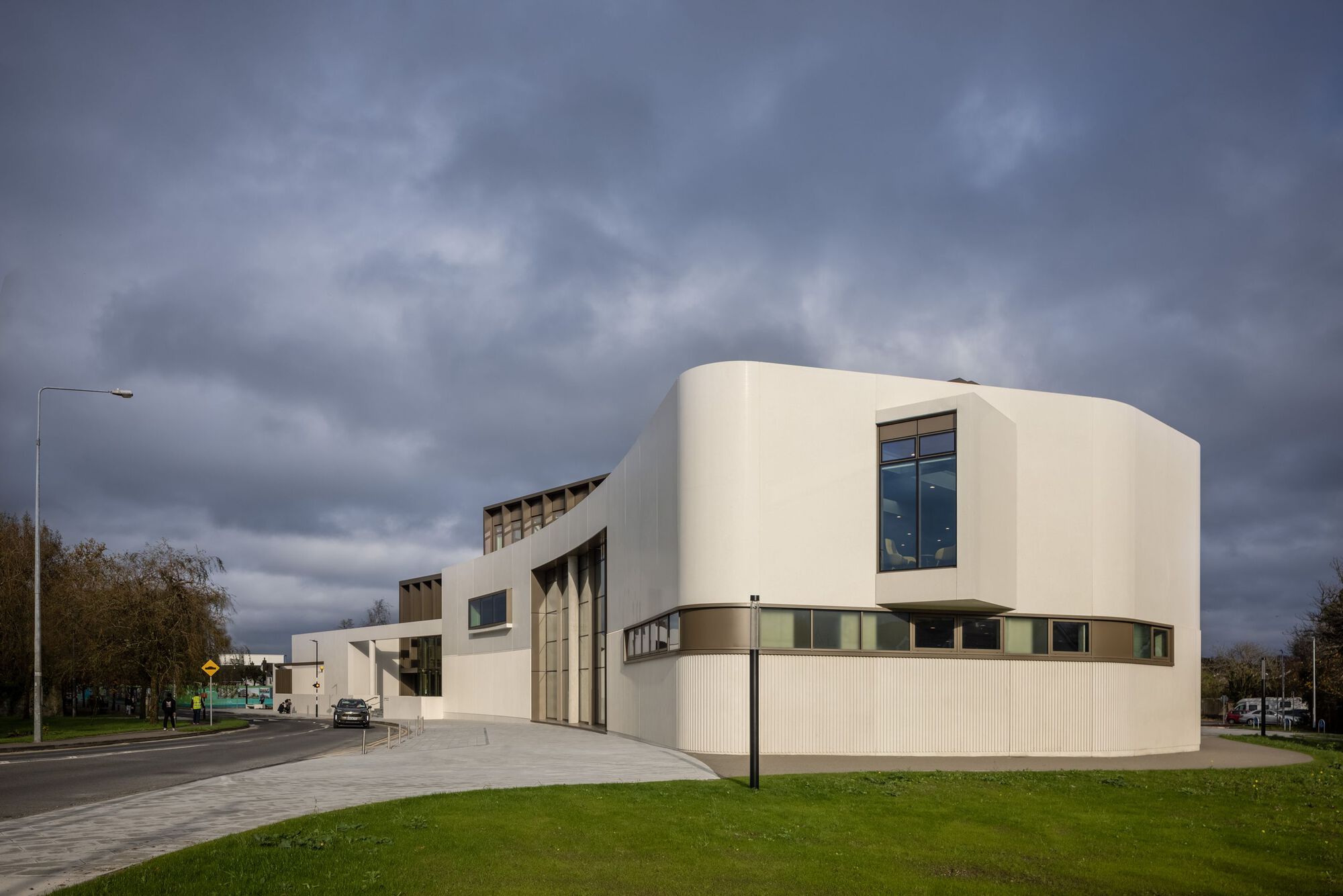 Enclosure in Ballycorey,dulickEnclosure · 567 yd
 Enclosure in KnockaderryEnclosure · 716 yd
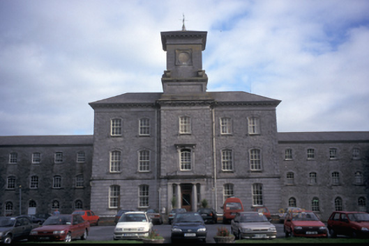 Our Lady's Hospitalhospital/infirmary · 970 yd
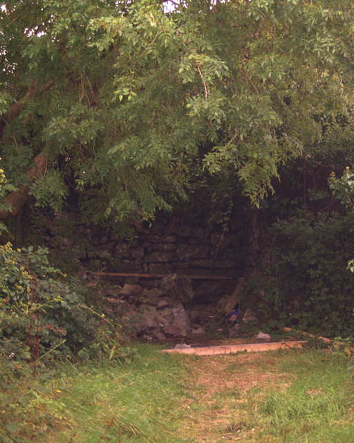 O'Brien's Castlecastle/fortified house · 1485 yd
 Ennis AbbeyMuseum · 1.4 mi
 Clare MuseumMuseum · 1.6 mi
 Post Office FieldNature reserve · 1.6 mi
 CastleCastle, tower house · 1.7 mi
 Ardcarney WoodWood · 1.9 mi
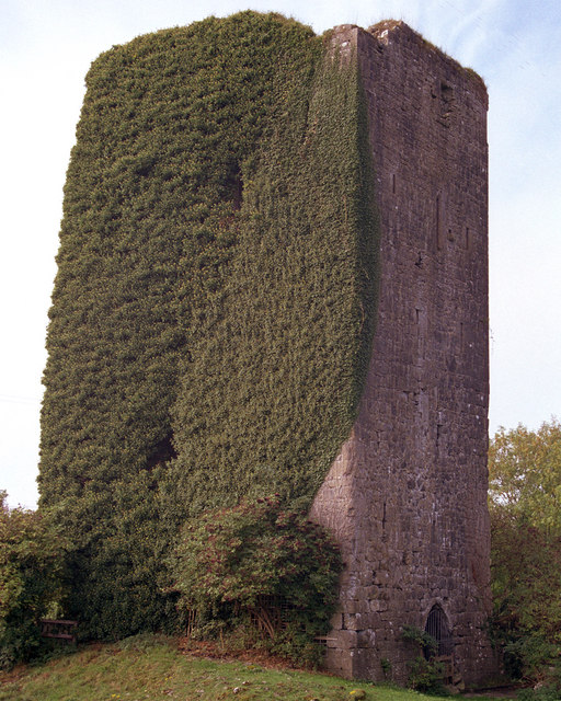 Ballygriffy CastleCastle · 2.5 mi
 G.A.A. Commemorative StoneMemorial · 3.5 mi
 Irish Famine MemorialMemorial · 3.5 mi