What is recorded here
Loughfad Children's Burial Ground is a place where tiny skulls and broken bones waited inside a sandy mound ringed by heavy boulders. Workmen revealed the double cist in 1937, exposing two small compartments that held young bodies with their heads pointing west. The site stands east of Lough Fad, marking a cillin where unbaptized children were laid to rest until about 1850.
In 1937 workmen levelling a mound discovered a double cist burial here. The mound was oval 19ft E-W × 16ft 6in N-S × 3ft 6in high. It was composed of dry sandy soil held in position by a kerb of large boulders and similarly sized boulders were scattered over the mound surface. A cist covered by two capstones lay 3ft below the mound surface near the W kerb i.e. approximately level with the outside ground surface. It consisted of two compartments each 32in E-W × 11in and 14in deep and was formed of thin limestone slabs. The slabs were held in place by packing stones. Each compartment contained an individual disarticulated burial, head to the W. Other skeletal material was found in the mound, including two tiny skulls probably representing the use of the site as a Cillin or burial ground for unbaptized children up to c. AD 1850. The site is located E of Lough Fad in an area of good pasture interrupted by patches of rougher ground.
(Raftery 1942, 122-6)
The above description was derived from the 'Archaeological Survey of County Donegal. A description of the field antiquities of the County from the Mesolithic Period to the 17th century.' Compiled by: Brian Lacey with Eamon Cody, Claire Cotter, Judy Cuppage, Noel Dunne, Vincent Hurley, Celie O'Rahilly, Paul Walsh and Seán Ó Nualláin (Lifford: Donegal County Council, 1983). In certain instances the entries have been revised and updated.
Date of upload: 22 September 2008
Neolithic double cist burial; dates to the 4th–3rd millennium BCE. The site is significant as an example of early funerary practice involving multiple interments, reflecting communal burial customs of the period.
The monument record does not grant public access. Check the route and ask the landowner before entering private land.
- What survives
- Recorded monument
Places near here
 Bonny Glen WoodForest recreation place · 457 yd
 Bonny Glen Wood - Bonny Glen walkOfficial walking route · 581 yd
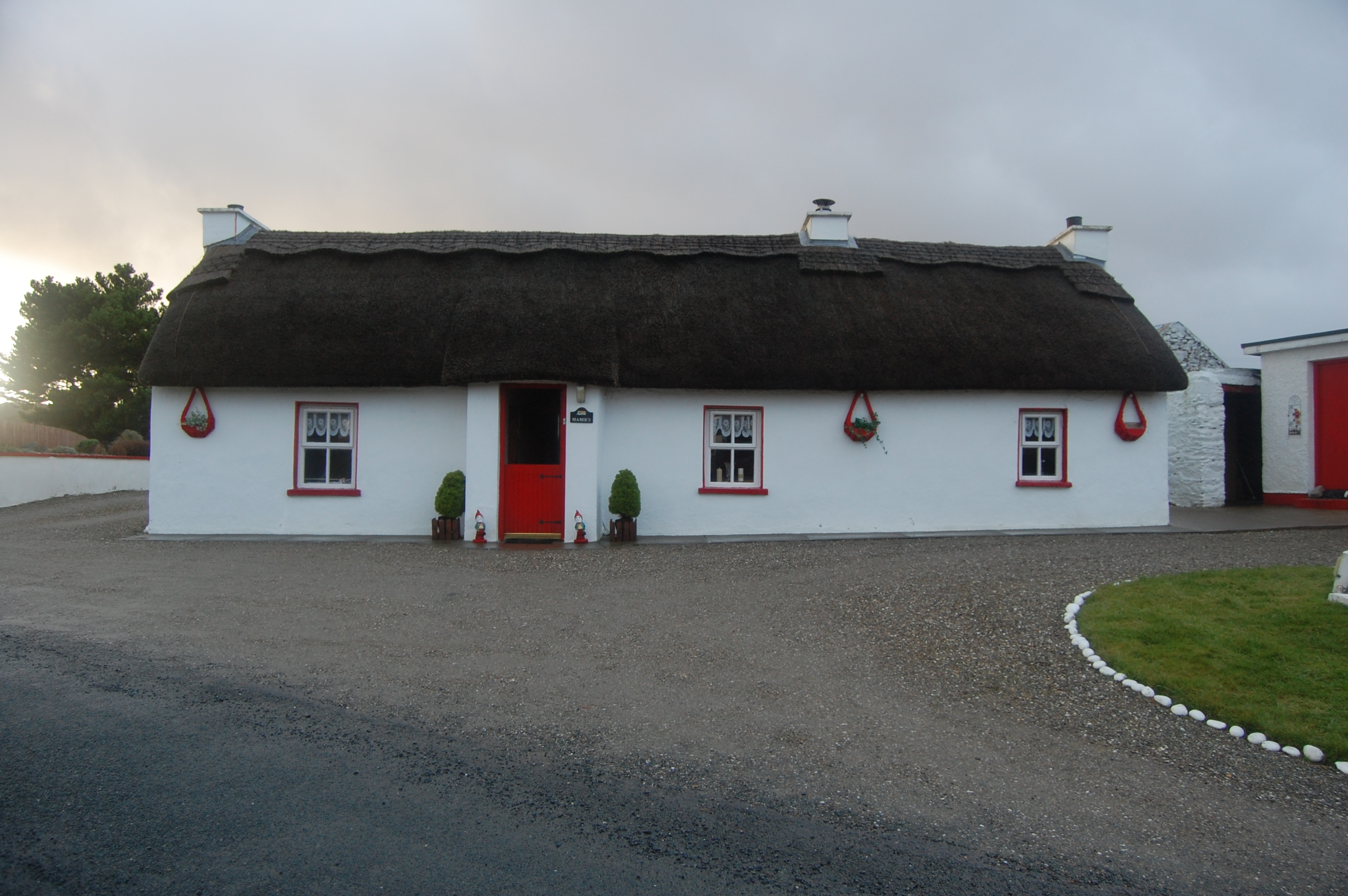 Mamie'shouse · 736 yd
 Clogher National Schoolschool · 1319 yd
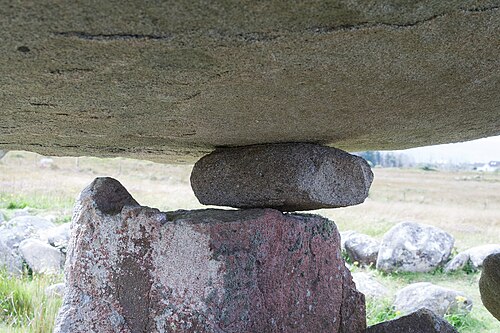 Kilclooney More Portal TombPortal tomb · 1.3 mi
 Kilclooney More Early Church EnclosureEcclesiastical enclosure · 1.5 mi
 Narin–Portnoo StrandOfficial bathing water · 1.7 mi
 Doon FortFairy fort / stone ringfort · 2.1 mi
 InishkeelIslet · 2.2 mi
 DooeyOfficial bathing water · 3.0 mi
 Wych ElmWych Elm · 3.1 mi
 CastleRuins · 3.5 mi