What is recorded here
Long Island is a 13-metre crannog in Lough Rea, built on stones that still push four metres into the water at north and south. Its shallow mound, brambles and possible slipway suggest people lived there, fished there and left the lake unchanged except for the shape of their hands. The other five crannogs nearby make it a neighbourhood rather than a loneliness, a small human district hidden beneath Galway water.
Located within the NE sector of Lough Rea, this is one of six crannogs (see also GA105-198----, GA105-198001-, GA105-198003-, GA105-199---- and GA105-224----) in this area of the lake. The crannog (D 13m) appears to have been artificially built on stones, which extended out from it for a distance of 4m below the water at N and S. The interior rose gradually towards a flat-topped mound (H c. 1.2m). Traces of a bank (L c. 3m; Wth c. 1m; H 0.3m) were visible at S. The interior was densely overgrown with brambles, trees and fallen trees. A possible slipway (L 1.5m; Wth 0.4m) marked by loose stones was evident at N. A possible causeway extended off it at E (information from K. McDonald).
Compiled by: Galway Archaeological Survey, UCG
Date of upload: 8 January 2020
The monument record does not grant public access. Check the route and ask the landowner before entering private land.
- What survives
- Recorded monument
Places near here
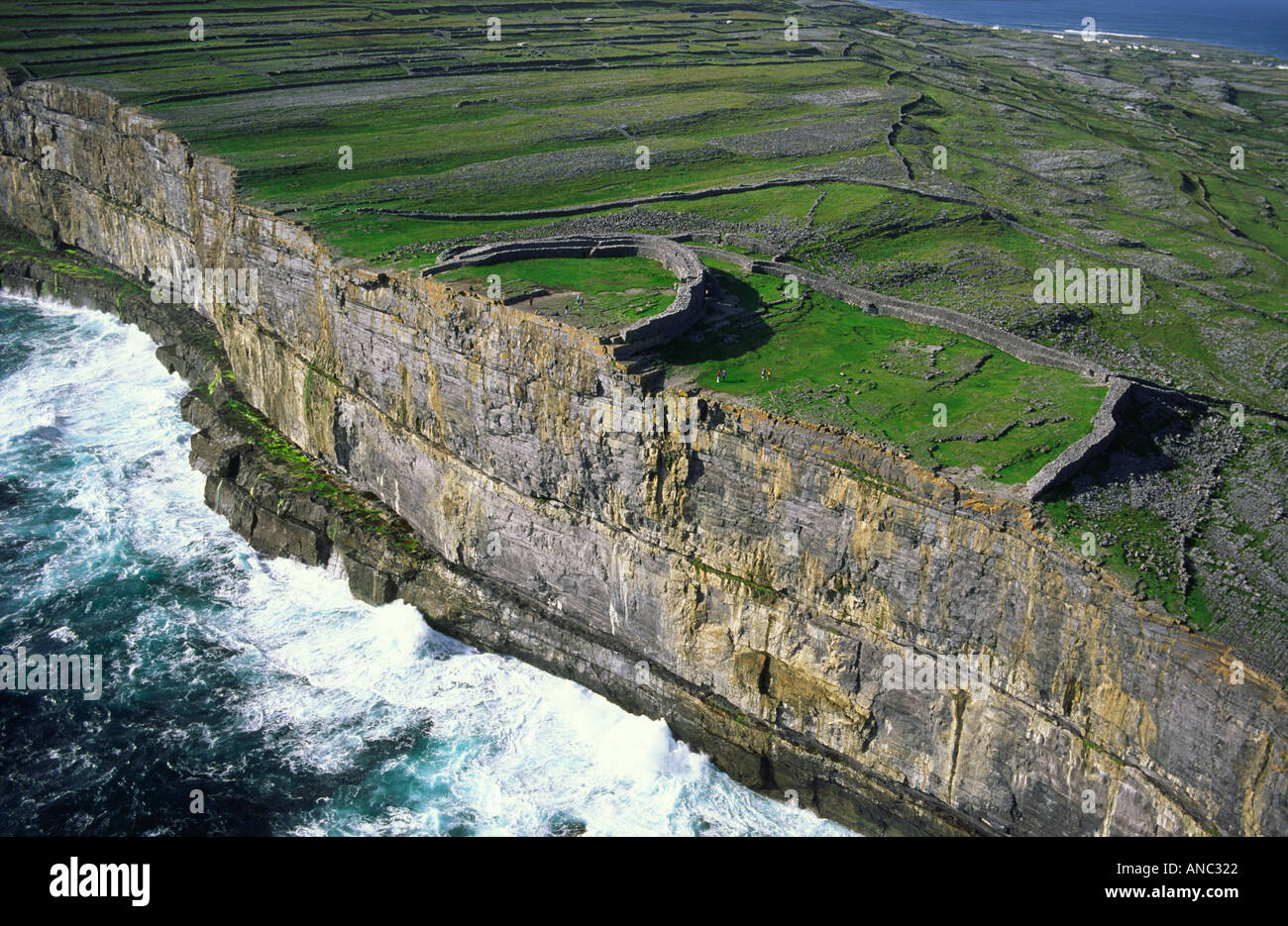 Long IslandIslet · 5 yd
 Middle IslandIslet · 101 yd
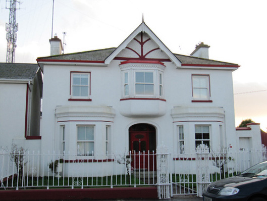 Lakeside Villahouse · 274 yd
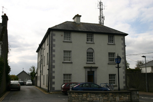 Loughrea Garda Síochána Stationgarda station/constabulary barracks · 292 yd
 St. Brendans WellHoly well · 360 yd
 St. Brendans Catholic CathedralCathedral · 448 yd
 Long PointHeadland · 1391 yd
 Ballygasty Castle in ruinsCastle, unclassified · 1.4 mi
 Raruddy Castle (in ruins)Castle, tower house · 1.7 mi
 Turoe StoneHeritage attraction · 4.0 mi
 Dartfield Horse MuseumHeritage attraction · 4.4 mi
 Scalpeen RockNamed rock · 5.4 mi