What is recorded here
On S-facing slope of Checker Hill in grassland. Well-preserved subcircular ringfort (N-S 28.2m, E-W 26m) defined by two stone-lined earthen banks and an intervening fosse. The inner bank is present from N through E to S; elsewhere a scarp, quarried out at S, forms the enclosing element. The outer bank is stone-revetted and is visible except from N to E and at W. A gap at N appears original. (Neary 1914, 117, no. 7)
The above description is derived from the published 'Archaeological Inventory of County Galway Vol. II - North Galway'. Compiled by Olive Alcock, Kathy de hÓra and Paul Gosling (Dublin: Stationery Office, 1999).
Date of upload: 05 August 2010
Lissyconorobrien, Knockaunbrack is a well-preserved early-medieval subcircular ringfort, likely dating to between the 6th and 10th centuries AD. Local folklore, though sparse, may associate such sites with fairy dwellings or ancient chieftains, as is common with many Irish raths.
The monument record does not grant public access. Check the route and ask the landowner before entering private land.
- What survives
- Recorded monument
Places near here
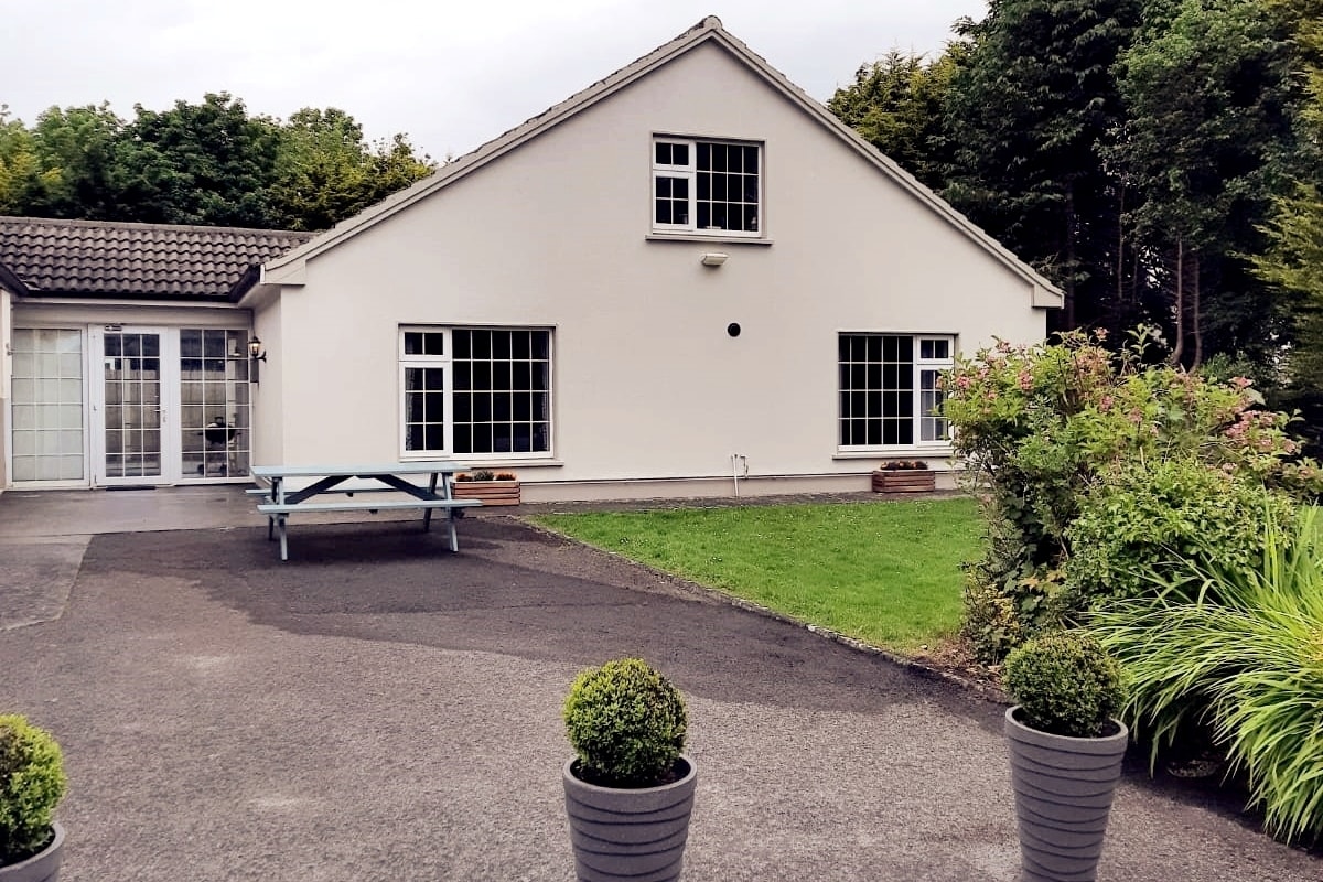 Enclosure in LissyconorEnclosure · 981 yd
 Crucamaohalle FortFairy fort / earthen ringfort · 1286 yd
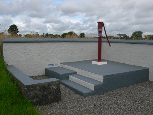 water pumpwater pump · 1468 yd
 Quarry in CastleQuarry · 1522 yd
 Castle in ruinsCastle, unclassified · 1.2 mi
 Slieve DartMountain / peak · 2.5 mi
 Dunmore CastleCastle · 3.3 mi
 Site of Killomaine Grave YardArchaeological place · 9.5 mi
 European ashEuropean ash · 11 mi
 Bellwell FortFairy fort / ringfort · 1622 yd
 Man-made underground passage in BallintavaMan-made underground passage · 1639 yd
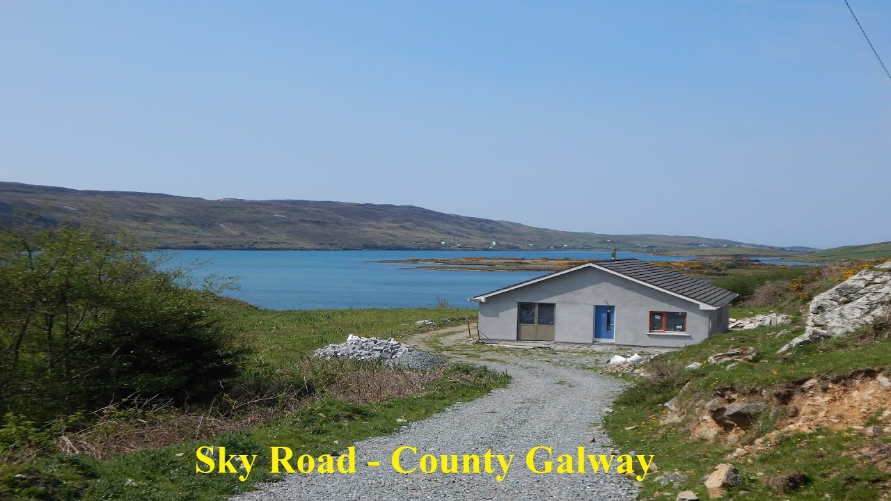 LissabrollaunFairy fort / earthen ringfort · 1710 yd