What is recorded here
Lissatotan- Hachured is a fairy fort in County Limerick, Ireland, where a circular earth bank still marks the ground beneath lush pasture. The enclosure measures about twenty-six metres across, but much of its original height has been levelled into the surrounding field. A narrow band of yellowish grass traces the buried ridge, hinting at the larger shape that once stood there. The dip at the southwest edge and the shallow hollow inside suggest a place made for movement, not display. It is the kind of fort that does not announce itself, yet refuses to disappear.
In pasture, on low-lying undulating terrain. Monument, depicted as embanked circular enclosure on 1923 OS 6-inch map, has been substantially levelled and incorporated into large pasture field. However, enclosure is still evident as circular area (26.2m N-S; 26.3m E-W) enclosed by earth-and-stone bank (int. H 0.35m; ext. H 0.25m); according to landowner this is remains of a much higher bank levelled to present height when surrounding field boundaries were removed. Line of bank accentuated by band of low yellowish grass in field otherwise under lush pasture. Bank (Wth 4m) dips gently at SW for c. 3m. Interior, under pasture, dips down towards centre.
Compiled by: Denis Power
Date of upload: 26 August 2011
The monument record does not grant public access. Check the route and ask the landowner before entering private land.
- What survives
- Recorded monument
Places near here
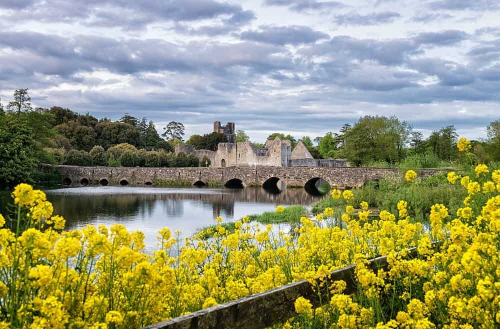 LisardArchaeological place · 515 yd
 Fulacht fia in CooltominFulacht fia · 522 yd
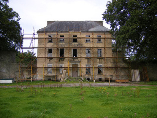 Riddlestown Parkcountry house · 1.2 mi
 post boxpost box · 1.3 mi
 Bawn in Lisnacullia (connello Lower By.)Bawn · 1.4 mi
 CastleCastle, unclassified · 2.1 mi
 St. Kieran's WellSpring · 2.3 mi
 TobernablahySpring · 2.5 mi
 Askeaton CastleHeritage attraction · 4.1 mi
 European ashEuropean ash · 4.8 mi
 Holly IslandIslet · 4.9 mi
 Foynes Flying Boat & Maritime MuseumMuseum · 6.0 mi