What is recorded here
In pasture, on the demesne lands of Attyflin House located 1km to S. Annotated ‘Lissard’ on the 1840 OS 6-inch map where it is depicted as a circular-shaped area enclosed by a bank. Depicted as an enclosure on the 1897 OS 25-inch map where it is shown as a raised circular-shaped area (approx. int. diam. 15m, approx. ext. diam. 21m) surrounded by trees with a disused lime-kiln 10m to S. Outline of tree-covered monument visible on Google Earth orthoimage taken 19/11/2019. This orthophoto shows remnant field boundaries to the E and NE as depicted on the 1840 OS map.
See attached Google Earth orthoimages
Compiled by: Martin Fitzpatrick
Date upload: 22 June 2020
A local fairy fort (ringfort/rath); wider significance not recorded.
The monument record does not grant public access. Check the route and ask the landowner before entering private land.
- What survives
- Recorded monument
Places near here
 ExcavationExcavation, miscellaneous · 330 yd
 milestone/milepostmilestone/milepost · 336 yd
 Megalithic structure in AttyflinMegalithic structure · 392 yd
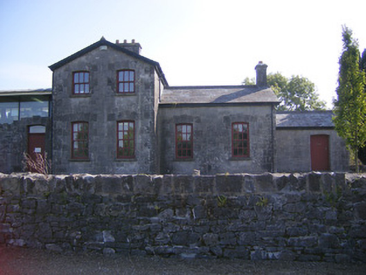 Patrickswell Railway Stationrailway station, signal box · 497 yd
 Castle FieldCastle, unclassified · 2.0 mi
 Ballinveala Castle (in ruins)Castle, tower house · 2.2 mi
 European ashEuropean ash · 4.3 mi
 Biodiversity in the Maigue CatchmentVisitor information · 5.0 mi
 Sailors HaggardMemorial · 5.0 mi
 Dysert AenghusaHeritage attraction · 5.1 mi
 Limerick Seamen's MemorialMemorial · 5.9 mi
 Kinnoor WellSpring · 6.4 mi