What is recorded here
Lissaniska is a well-preserved ringfort in County Galway, Ireland, where an earthen bank and external ditch have marked a family boundary for well over a thousand years. Its broad south-east entrance suggests livestock moved through the enclosure rather than soldiers marching to war. A hidden underground passage in the northeast quadrant invites speculation about what people stored, hid or prayed beneath the pasture. The fort still holds its shape in level fields, waiting for someone to walk its causeway and imagine the hands that built it.
In level pastureland. Circular rath (diam. c. 40m), in fair condition, defined by a bank and external fosse; the latter is only visible from SW through W to NE. A roughly E-W running field boundary clips the rath at S. There is a Man-made underground passage (GA106-077001-) in the NE quadrant of the interior.
Compiled by: Galway Archaeological Survey, UCG
Date of upload: 2 January 2017
The monument record does not grant public access. Check the route and ask the landowner before entering private land.
- What survives
- Recorded monument
Places near here
 Old ChapelChurch · 1019 yd
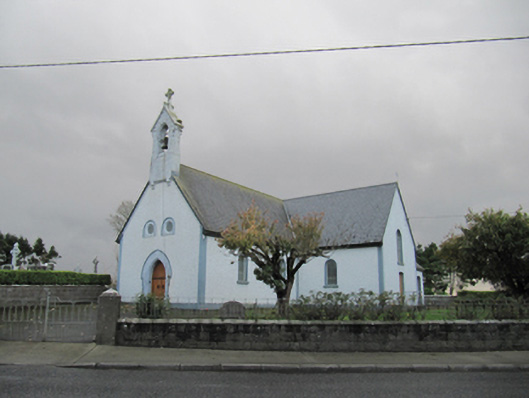 Catholic Church of Our Lady of Lourdeschurch/chapel · 1032 yd
 TobermacduaghHoly well · 1445 yd
 Field system in BallynahistilField system · 1727 yd
 Dartfield Horse MuseumHeritage attraction · 1.1 mi
 Drought Castle (in Ruins)Castle, tower house · 1.3 mi
 Kilcooly Castle (in ruins)Castle, tower house · 1.7 mi
 Turoe StoneHeritage attraction · 5.0 mi
 Bush IslandIslet · 5.2 mi
 Middle IslandIslet · 5.2 mi
 Long PointHeadland · 5.2 mi
 Quarryhill WoodWood · 6.8 mi