What is recorded here
On S-facing slope of a rise in grassland. An almost circular rath (N-S 47m, E-W 46.5m), in fair condition, defined by three banks and two intervening fosses. The inner bank survives at W, N and E; elsewhere a scarp forms the enclosing element. The middle bank survives from S through W to N, and the outermost fosse and bank are visible only at SSW. A number of field banks and a road skirt the monument The interior is disturbed by tillage ridges running N-S.
The above description is derived from the published 'Archaeological Inventory of County Galway Vol. II - North Galway'. Compiled by Olive Alcock, Kathy de hÓra and Paul Gosling (Dublin: Stationery Office, 1999).
Date of upload: 05 August 2010
A circular rath of the early medieval period; its multiple banks and ditches indicate a defensive or high-status settlement. The structure reflects typical ringfort morphology found across Ireland during the 5th to 10th centuries AD.
The monument record does not grant public access. Check the route and ask the landowner before entering private land.
- What survives
- Recorded monument
Places near here
 Enclosure in LissanannyEnclosure · 666 yd
 LisnacreevaFairy fort / earthen ringfort · 922 yd
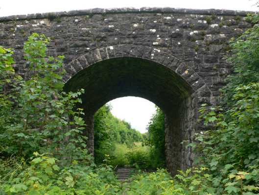 bridgebridge · 1292 yd
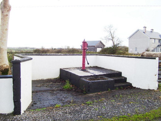 water pumpwater pump · 1328 yd
 CastleCastle, tower house · 1656 yd
 Fartamore Castle (ruins)Castle · 1.1 mi
 European ashEuropean ash · 3.6 mi
 Mass RockNamed rock · 3.9 mi
 European YewEuropean Yew · 4.9 mi
 Kilcoona Round TowerHeritage attraction · 10 mi
 Ross Errilly FriaryHeritage attraction · 11 mi
 Otter IslandIslet · 14 mi