What is recorded here
Lissakettle- Hachured was a twenty-five-metre fairy fort on a Limerick slope when ploughs and greed erased its shape. The earth did not vanish but shifted, forming a long stone mound along the field boundary where nettles still mark the hidden ring. People may have lived inside that circle before forgetting it, yet the marsh below and the resistant plants suggest the site kept its own boundaries despite human attempts to erase them.
In pasture, on gentle N-facing slope with large marsh down-slope to N. Monument, depicted as embanked circular enclosure (diam. c. 25m) on 1923 OS 6-inch map, has been levelled. Now evident as band of nettles (Wth 5.6m) SSW->NW. Mound of earth and stones (H 0.9m; Wth 4.8m), probably derived from enclosure, extends along W side of adjacent field boundary for c. 90m.
Compiled by: Denis Power
Date of upload: 26 August 2011
The monument record does not grant public access. Check the route and ask the landowner before entering private land.
- What survives
- Recorded monument
Places near here
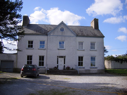 Bettyville housecountry house · 708 yd
 Lismakeery Castle (in ruins)Castle, tower house · 748 yd
 Fulacht fia in LismakeeryFulacht fia · 950 yd
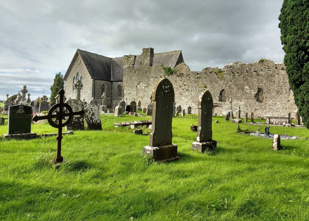 Grave YardGraveyard · 1039 yd
 Lismakeery Church (in ruins)Church · 1040 yd
 Milltown Castle (in ruins)Castle, tower house · 1.4 mi
 Askeaton CastleHeritage attraction · 2.0 mi
 Holly IslandIslet · 2.7 mi
 TobernablahySpring · 4.3 mi
 St. Kieran's WellSpring · 4.5 mi
 Tummera LittleIslet · 4.5 mi
 Herring RockNamed rock · 4.5 mi