What is recorded here
Located at the SE end of a low NW-SE ridge. It is depicted as a large embanked enclosure (ext. diam. c. 65,) described as a ‘fort’ in gothic lettering on the 1834 edition of the OS 6-inch map and as a large D-shaped hachured feature (dims c. 65m E-W; c. 65m N-S) with straight sides at W and S, which is described as ‘Lissadoon’ in gothic lettering on the 1907 edition. This is a large D-shaped field defined by field banks and hedges. There is a straight internal scarp (Wth c. 9m; H c. 2.5m), probably old quarrying, inside the perimeter at S. It might be a large field.
The above description is derived from the published 'Archaeological Inventory of County Monaghan' (Dublin: Stationery Office, 1986). In certain instances the entries have been revised and updated in the light of recent research.
Revised by: Michael Moore
Date of revision: 29 January 2018
The monument record does not grant public access. Check the route and ask the landowner before entering private land.
- What survives
- Recorded monument
Places near here
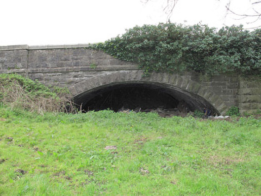 bridgebridge · 291 yd
 IndicatedCrannog · 865 yd
 The IslandCrannog · 1257 yd
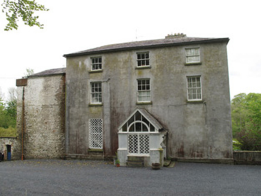 Bishops Courtcountry house · 1280 yd
 Saint John's WellSpring · 1577 yd
 KillycoonaghWood · 1.0 mi
 Common LimeCommon Lime · 1.2 mi
 Bawn in CrossmoyleBawn · 1.5 mi
 Abbey RuinsHeritage attraction · 1.5 mi
 The Cassandra Hand CentreMuseum · 1.6 mi
 CastleCastle, motte and bailey · 1.7 mi
 Jaundice WellSpring · 2.1 mi