
What is recorded here
Lissacholly is a broken earthen ring on the eastern shoulder of a low hill above the River Erne. Its bank and ditch have faded until only faint traces remain on the east and north, yet the shape still suggests a small fortified life. People may have stood there in rain, watched the water below or kept what they owned from neighbours. The earth has taken most of the answer, but it left enough for the place to be recognised as a human making rather than a random mound.
Originally a subcircular space enclosed by an earthen bank and external fosse. These now only survive on the E and N sides and in poor condition. Situated on the E shoulder of a low hill S of the River Erne.
The above description was derived from the 'Archaeological Survey of County Donegal. A description of the field antiquities of the County from the Mesolithic Period to the 17th century.' Compiled by: Brian Lacey with Eamon Cody, Claire Cotter, Judy Cuppage, Noel Dunne, Vincent Hurley, Celie O'Rahilly, Paul Walsh and Seán Ó Nualláin (Lifford: Donegal County Council, 1983). In certain instances the entries have been revised and updated.
Date of upload: 22 September 2008
The monument record does not grant public access. Check the route and ask the landowner before entering private land.
- What survives
- Recorded monument
Places near here
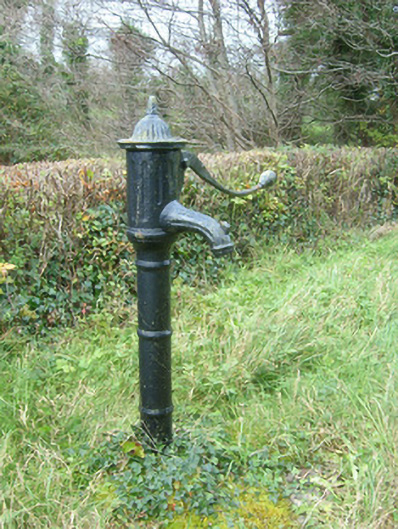 water pumpwater pump · 214 yd
 Killeen Earthen Ringfort near Fort WilliamFairy fort / earthen ringfort · 424 yd
 Fort Williamhouse, country house · 649 yd
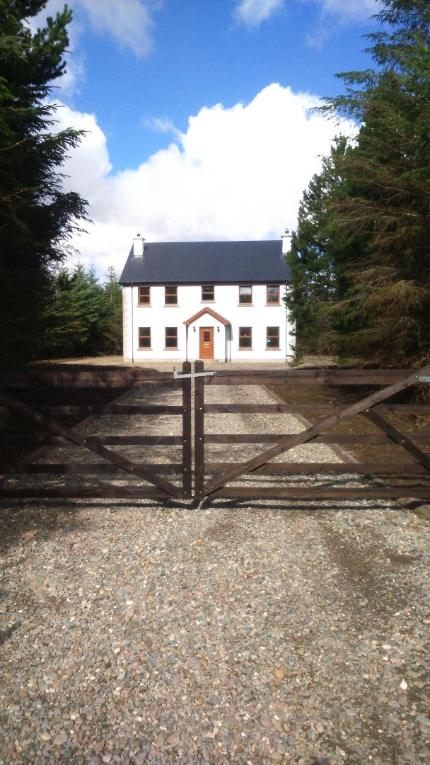 Enclosure in LissachollyEnclosure · 796 yd
 Castle in ruinsCastle, unclassified · 1692 yd
 Belleek Pottery MuseumMuseum · 2.1 mi
 Belleek PotteryHeritage attraction · 2.1 mi
 CastleCastle, unclassified · 2.2 mi
 Rory GallagherMemorial · 2.3 mi
 St Anne's Church GraveyardGraveyard · 2.5 mi
 InishkeenIslet · 3.1 mi
 InishtempleIslet · 3.6 mi
Other information
Photo: Credit not shown in the picture search · Rights wording not checked; contact us if this picture should be removed