What is recorded here
Situated on top of a drumlin. A large wooded enclosure is depicted on the 1834 edition of the OS 6-inch map, and it is described as ‘Lisnanore Fort’ in gothic lettering on the 1907 edition. This is circular grass-covered area (diam. 73m E-W; 68.5m N-S) that slopes down slightly to the S. It is defined by a scarp (at WSW: Wth 1.4m; H 1.6m) with a stone-facing (at WSW: H 1m) at the base of the scarp that creates a berm (at WSW: Wth 1.5m) above it W-N-SE. There is an outer fosse or trench (Wth of top 3.7m; Wth of base 1.9m; ext. D 1.2m) functioning as a track N-SE, and there is a wide entrance (Wth 9.8m) at SE. Beech trees are planted at the top of the scarp and there are oak trees inside them. There is a tower windmill at the centre. This is on the demesne of Bessmount House, which is c. 800m to the SW, and is matched by the large enclosure at Eden Island (MO009-006----) c. 700m to the W.
The above description is derived from the published 'Archaeological Inventory of County Monaghan' (Dublin: Stationery Office, 1986). In certain instances the entries have been revised and updated in the light of recent research.
Date of revision: 13 December 2017
The monument record does not grant public access. Check the route and ask the landowner before entering private land.
- What survives
- Recorded monument
Places near here
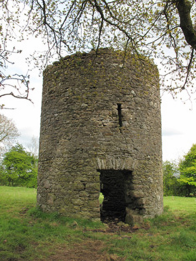 mill (wind)mill (wind) · 5 yd
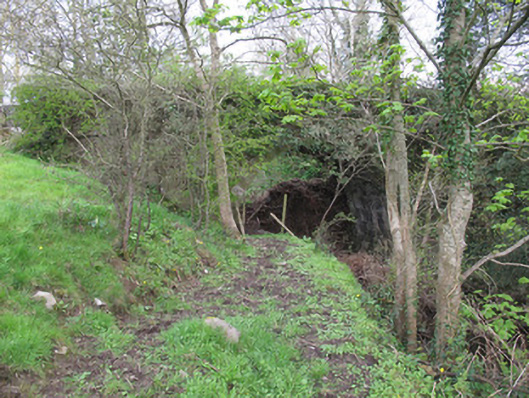 bridgebridge · 324 yd
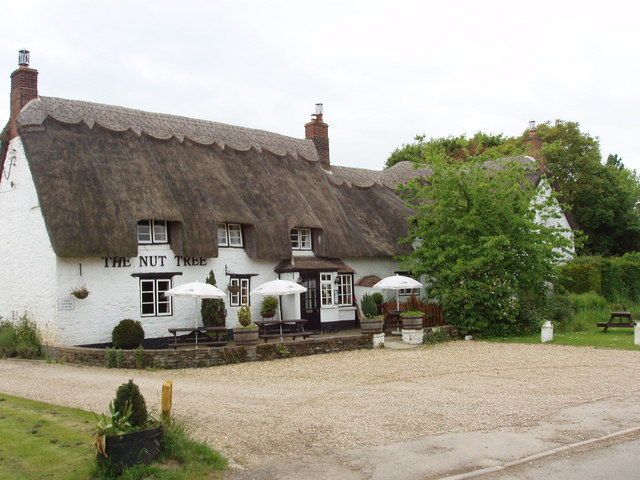 The Nut WoodForest · 501 yd
 Liscarney WoodWood · 552 yd
 LiscarnFairy fort / earthen ringfort · 655 yd
 CarnCairn, unclassified · 872 yd
 Monaghan County MuseumMuseum · 1.9 mi
 Rossmore MonumentMemorial · 2.1 mi
 Bawn in Roosky (monaghan By., Monaghan Par.)Bawn · 2.1 mi
 Castleshane WaterfallWaterfall · 3.3 mi
 Banba GiantHeritage attraction · 3.7 mi
 Battle of ClontibretBattlefield · 5.5 mi