What is recorded here
Lisnagrave is a possible fairy fort in County Kerry, Ireland. It sits in pasture on a south-facing slope. The 1846 map showed a circular enclosure about forty metres across, but the 1895 map lost its southern arc. The ground may have changed, or the drawing may have failed.
In pasture, on a S-facing slope. Access to this possible rath was not gained. It is indicated on the 1846 OS 6-inch map as a circular enclosure (diam. c. 40m) while on the 1895 OS 6-inch map its S arc is missing.
Compiled by: Elizabeth Byrne, Ursula Egan and Sheila Ronan, Archaeological Survey Unit, University College, Cork.
Date of upload: 31 January 2011
The monument record does not grant public access. Check the route and ask the landowner before entering private land.
- What survives
- Recorded monument
Places near here
 Parkalassa FortFairy fort / earthen ringfort · 533 yd
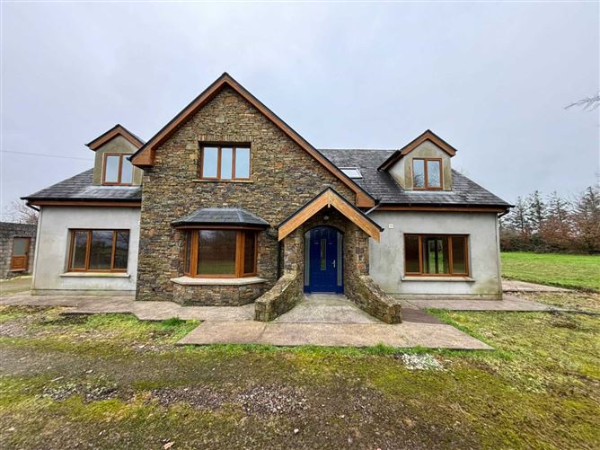 Enclosure in KnockavotaEnclosure · 999 yd
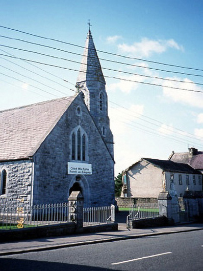 Catholic Church of the Sacred Heartchurch/chapel · 1737 yd
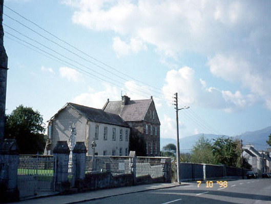 The Monasteryconvent/nunnery · 1.0 mi
 CastleCastle, tower house · 1.2 mi
 Clash IslandIslet · 2.0 mi
 Cloon IslandIsland · 2.4 mi
 The Kerry Creamery ExperienceHeritage attraction · 2.5 mi
 Site of Castle MaineCastle, Anglo-Norman masonry castle · 2.7 mi
 King Puck statueMemorial · 3.0 mi
 LisnagraveArchaeological place · 4.3 mi
 Dunloe Ogham StonesHeritage attraction · 6.0 mi