
What is recorded here
Lisnagola is a ruined circular rath on a Galway pasture rise, its thirty-two-metre boundary now hidden beneath grass and forgotten foot traffic. The land may have swallowed the fort because people stopped seeing the fort, not because the fort disappeared. What is missing is not the wall but the reason the wall was built.
On a rise in gently rolling pastureland. Very poorly preserved circular rath (diam. 32m) defined by a bank from SSE to SW; elsewhere a vegetation band indicates the line of the monument.
Compiled by: Galway Archaeological Survey, UCG
Date of upload: 6 January 2017
The monument record does not grant public access. Check the route and ask the landowner before entering private land.
- What survives
- Recorded monument
Places near here
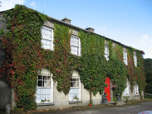 Eagle Hillcountry house · 967 yd
 Enclosure in EaglehillEnclosure · 1193 yd
 Ladys WellHoly well · 1545 yd
 Friary (in ruins)Religious house, Cistercian monks · 1608 yd
 Coolfin Castle (in ruins)Castle, tower house · 1.4 mi
 Site of CastleCastle, unclassified · 1.7 mi
 Oak WoodForest · 2.5 mi
 Bog WoodForest · 2.7 mi
 Friar's IslandIslet · 5.2 mi
 Abbey IslandIslet · 5.3 mi
 Stonyisland BayBay · 5.4 mi
 TullymoreMountain / peak · 6.3 mi
Other information
Photo: Credit not shown in the picture search · Rights wording not checked; contact us if this picture should be removed