
What is recorded here
Lisnageeha rises as a circular earthen fortress on a natural hillock in Ballycrine, its double banks and deep flat-bottomed ditch built to stop invasion rather than keep livestock out. The eastern entrance narrows to a causeway no wider than two metres, forcing attackers into a killing box where the vertical walls still cast sharp shadows across the pasture. This was no ordinary farmstead but a regional power centre, perhaps early medieval, where someone held land worthy of such brutal engineering. The grass grows thick inside the ditch now, softening the violence of its shape, but the geometry remains unchanged: a place designed to say no.
Located on a natural hillock in undulating terrain, in pastureland. Higher ground is formed by a ridge to the NW. A bivallate site with very impressive defences and a well-defined causewayed entrance (Wth 2-2.3m) at E with banks declining in height towards the entrance. The site is circular (27m N-S; 28.5m E-W) and is enclosed by an earthen bank (Wth 2.5m; int. H 0.88m; ext. H 3m), a flat-bottomed fosse (Wth 4.5m; D 2.26m), partially rock cut, with an impressive outer bank (Wth 2.5m; ext. H 0.78m). The vertical profile of the banks is very impressive and indicates that this site was an important defensive earthwork of possible early medieval date. Its morphology is unlike that of the ringforts of this region although its location is typical of a ringfort rather than a motte or ringwork. The overall emphasis of the site is on its impressive defensive features which suggest that this was not a simple defended farmstead of a single family unit.
The above description is derived from 'The Archaeological Inventory of County Tipperary. Vol. 1 - North Tipperary' compiled by Jean Farrelly and Caimin O'Brien (Dublin: Stationery Office, 2002). In certain instances the entries have been revised and updated in the light of recent research.
Date of upload/revision: 22 September 2008
Built by a Gaelic lordlet in the 13th century, Lisnageeha, Ballycrine is remembered for its strong bivallate defences and strategic position in the landscape, reflecting the importance of local power structures in early medieval Ireland.
The monument record does not grant public access. Check the route and ask the landowner before entering private land.
- What survives
- Recorded monument
Places near here
 LisnageehaArchaeological place · 18 yd
 Patricks WellHoly well · 310 yd
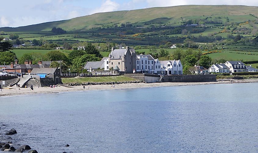 Castle (in ruins)Castle, tower house · 1.1 mi
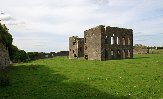 IndicatedBawn · 1.1 mi
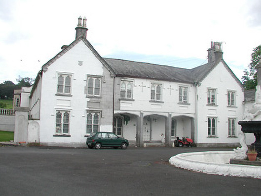 Inane Housecountry house · 1.2 mi
 Kiln in Boola (bourney Par.)Kiln · 1.2 mi
 Roscrea Petty Sessions HouseHeritage attraction · 2.7 mi
 European ashEuropean ash · 3.0 mi
 White MulberryWhite Mulberry · 3.3 mi
 Black HillMountain / peak · 3.6 mi
 Millennium GardenMemorial · 3.7 mi
 Golden Grove HillMountain / peak · 4.4 mi
Other information
Photo: Credit not shown in the picture search · Rights wording not checked; contact us if this picture should be removed