What is recorded here
Lisnagaur-lagh is a ruined fairy fort on a Galway rise, its earth bank cut by a later field wall and half forgotten by grass. The surviving ditch and scarped edge suggest a substantial ring, yet the eastern trace has vanished entirely. People may have lived inside the boundary before the wall crossed it, but the loss of that much structure invites a wider belief: the fort belongs to the landscape now, not to memory.
On a rise in undulating grassland. Poorly preserved subcircular rath (NE-SW 48.6m) defined by a bank, intervening fosse and possible outer bank. A field wall cuts the monument at NNE and SSE and no visible surface trace survives to E of it. The inner bank is present at SSW and NW; elsewhere a scarp forms the enclosing element. The fosse and possible outer bank survive from S to SW and at WNW. Within the interior is a CBG (GA041-019001-)
The above description is derived from the published 'Archaeological Inventory of County Galway Vol. II - North Galway'. Compiled by Olive Alcock, Kathy de hÓra and Paul Gosling (Dublin: Stationery Office, 1999).
Date of upload: 05 August 2010
The monument record does not grant public access. Check the route and ask the landowner before entering private land.
- What survives
- Recorded monument
Places near here
 MillWater mill, unclassified · 629 yd
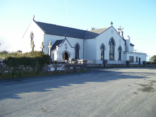 Saint Mary's Catholic Churchchurch/chapel · 1019 yd
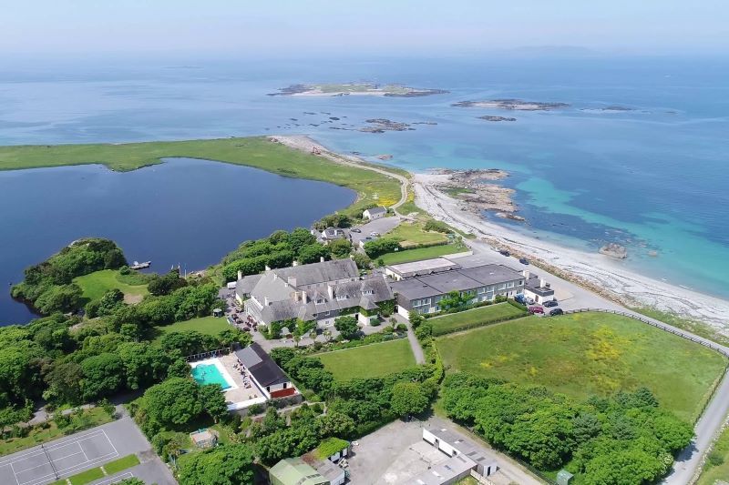 UainmoreMan-made underground passage · 1383 yd
 Enclosure in Gortbrack (kilmaine By.)Enclosure · 1414 yd
 Ross Errilly FriaryHeritage attraction · 1.6 mi
 BallynacreggaWood · 1.8 mi
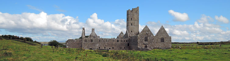 Tower; Proposed site of Ross AbbeyCastle, unclassified · 1.8 mi
 Annaghkeen CastleCastle · 1.9 mi
 Otter IslandIslet · 2.5 mi
 Rabbit IslandIslet · 2.8 mi
 Cregg PlantationForest · 5.7 mi
 Ballinduff BayBay · 5.9 mi
Other information
Photo: Credit not shown in the picture search · Rights wording not checked; contact us if this picture should be removed