What is recorded here
In grassland. Poorly preserved circular rath (diam. 31m) defined by a bank from WNW through N to ENE; elsewhere a scarp, surmounted by a field wall, forms the enclosing element.
Compiled by: Galway Archaeological Survey, UCG
Date of upload: 6 January 2017
The monument record does not grant public access. Check the route and ask the landowner before entering private land.
- What survives
- Recorded monument
Places near here
 Enclosure in Ben MoreEnclosure · 269 yd
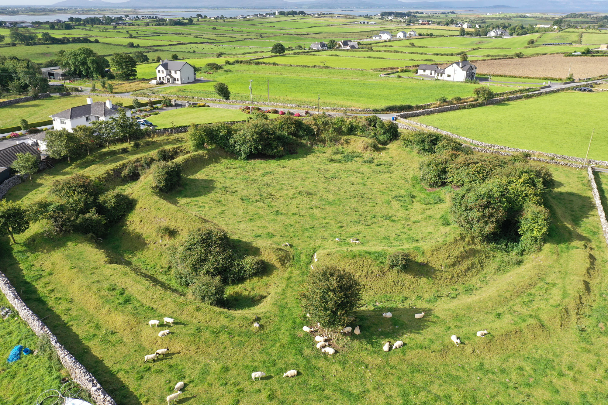 Fairy fort / earthen ringfort in Ben MoreFairy fort / earthen ringfort · 303 yd
 BenmoreHouse, 18th/19th century · 383 yd
 Galboley Castle (in ruins)Castle, unclassified · 1.2 mi
 Turoe StoneHeritage attraction · 1.2 mi
 R.C. ChapelChurch · 1.2 mi
 Bawn in Cahernamuck WestBawn · 3.2 mi
 Dartfield Horse MuseumHeritage attraction · 3.6 mi
 Barrack IslandIslet · 4.8 mi
 Bush IslandIslet · 4.8 mi
 Woodlawn WoodsForest · 4.9 mi
 European Crab AppleEuropean Crab Apple · 5.2 mi