What is recorded here
On a rise in undulating grassland and immediately to the E of Loughrea-Kilreekill road. Marked on the 1838 edition of the OS 6-inch map as a subcircular enclosure (c. 41m N-S; c. 39m E-W ); partially levelled by the time of the 1947 edition. On inspection in April 1984 no visible surface trace survived. However, its outline is visible on the OSi digitalglobe aerial photograph. A Man-made underground passage (GA098-106001-) is associated. A dwelling house has been built to the SW.
Compiled by: Galway Archaeological Survey, UCG
Date of upload: 8 March 2019
Lisnacroba, Glenmeen is a subcircular early-medieval ringfort, likely dating to between the 6th and 10th centuries AD, situated on a rise near the Loughrea-Kilreekill road. It appears on the 1838 OS 6-inch map but was partially levelled by the time of later surveys; no specific folklore is recorded for this site.
The monument record does not grant public access. Check the route and ask the landowner before entering private land.
- What survives
- Recorded monument
Places near here
 Old ChapelChurch · 875 yd
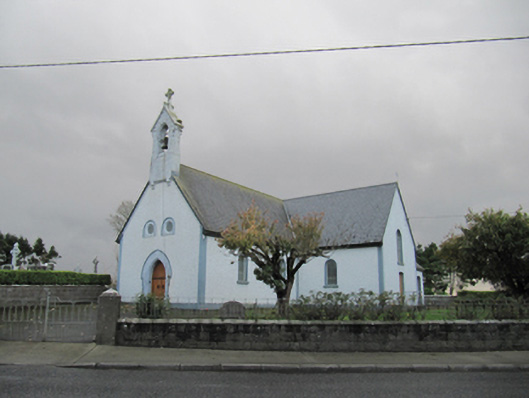 Catholic Church of Our Lady of Lourdeschurch/chapel · 890 yd
 Dartfield Horse MuseumHeritage attraction · 1496 yd
 TobermacduaghHoly well · 1709 yd
 Field system in BallynahistilField system · 1.1 mi
 Drought Castle (in Ruins)Castle, tower house · 1.1 mi
 Kilcooly Castle (in ruins)Castle, tower house · 1.8 mi
 Turoe StoneHeritage attraction · 4.8 mi
 Bush IslandIslet · 5.1 mi
 Middle IslandIslet · 5.1 mi
 Long PointHeadland · 5.1 mi
 Quarryhill WoodWood · 7.0 mi