What is recorded here
Lismiggeen is a pear-shaped fairy fort in County Galway, measuring sixty-four metres north-south and sixty-three metres east-west. Cattle gaps breach its bank and a field wall overlays part of the ridge, yet the external fosse remains visible from northeast to southeast. The interior holds a buried ground feature, waiting beneath the grass for someone patient enough to listen for what the ring was built to keep out or hold in.
In level grassland. Well-preserved pear-shaped rath (N-S 64m, E-W 63m) defined by a bank and external fosse best preserved from NE to SE. Numerous cattle gaps breach the bank, and the fosse has been quarried out at NE and SE. A field wall overlies the bank from NW to NE. There is a CBG (GA029-047001-) within the interior.
The above description is derived from the published 'Archaeological Inventory of County Galway Vol. II - North Galway'. Compiled by Olive Alcock, Kathy de hÓra and Paul Gosling (Dublin: Stationery Office, 1999).
Date of upload: 05 August 2010
The monument record does not grant public access. Check the route and ask the landowner before entering private land.
- What survives
- Recorded monument
Places near here
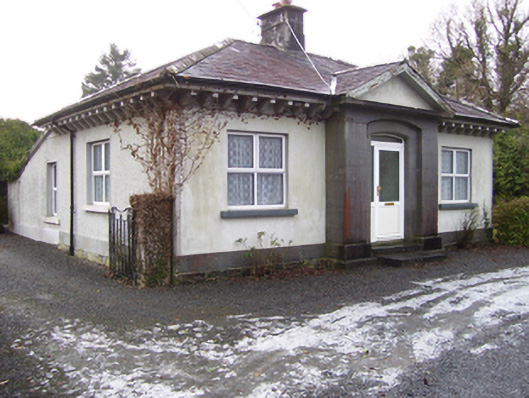 Castlegrove Housegate lodge · 454 yd
 CastleCastle, tower house · 533 yd
 LisleaFairy fort / earthen ringfort · 1176 yd
 LisnacreevaFairy fort / earthen ringfort · 1737 yd
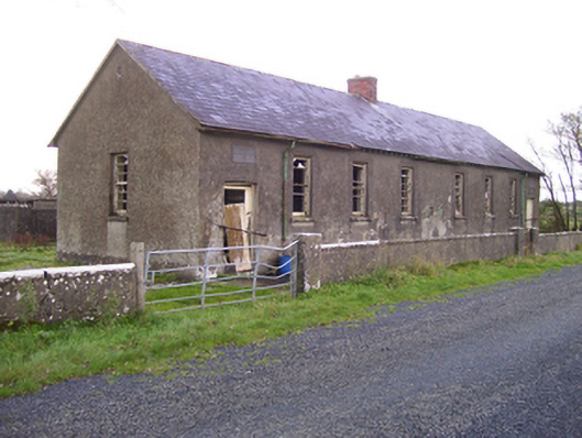 Brooklawn National Schoolschool · 1.2 mi
 Fartamore Castle (ruins)Castle · 1.2 mi
 European ashEuropean ash · 2.6 mi
 Mass RockNamed rock · 2.7 mi
 European YewEuropean Yew · 4.9 mi
 Kilcoona Round TowerHeritage attraction · 9.3 mi
 Otter IslandIslet · 13 mi
 Inis Mhic an TrírIsland · 13 mi