What is recorded here
On E-facing slope of Checker Hill in grassland. Marked on OS 6-inch maps as an oval enclosure (N-S c. 50m, E-W c. 35m). All that survives is a barely discernible rise at N; a field bank which delimits the monument from NE to SE may incorporate some of the original enclosing element.
The above description is derived from the published 'Archaeological Inventory of County Galway Vol. II - North Galway'. Compiled by Olive Alcock, Kathy de hÓra and Paul Gosling (Dublin: Stationery Office, 1999).
Date of upload: 05 August 2010
The monument record does not grant public access. Check the route and ask the landowner before entering private land.
- What survives
- Recorded monument
Places near here
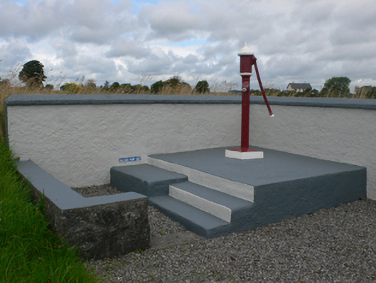 water pumpwater pump · 220 yd
 Catholic Church of Christ the Kingchurch/chapel · 1212 yd
 ShrineAltar · 1397 yd
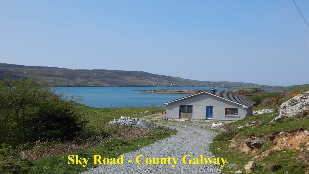 LissabrollaunFairy fort / earthen ringfort · 1615 yd
 Castle in ruinsCastle, unclassified · 1.1 mi
 Slieve DartMountain / peak · 2.2 mi
 Dunmore CastleCastle · 4.1 mi
 Site of Killomaine Grave YardArchaeological place · 8.9 mi
 European ashEuropean ash · 12 mi
 Enclosure in KiltivnaEnclosure · 1621 yd
 LisowenmacloughlinArchaeological place · 1664 yd
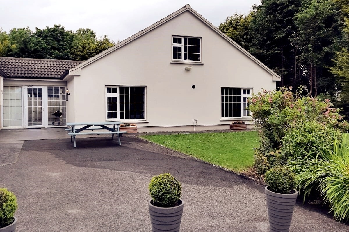 Enclosure in LissyconorEnclosure · 1665 yd