What is recorded here
At tip of Quarry Point, W side of Courtmacsherry Bay. House built by Synge family and demolished c. 1910 (Healy 1988, 274). Section of walling along shore sometimes identified as bawn wall of castle, in fact, wall of terrace of small dwellings of 18th/19th century date. Site of castle further inland (3051).
The above description is derived from the published 'Archaeological Inventory of County Cork. Volume 1: West Cork' (Dublin: Stationery Office, 1992). In certain instances the entries have been revised and updated in the light of recent research.
Date of upload/revision: 14 January 2009
The monument record does not grant public access. Check the route and ask the landowner before entering private land.
- What survives
- Recorded monument
Places near here
 Field system in LisleecourtField system · 368 yd
 Blind StrandBeach / strand · 429 yd
 HDS walk Coolim CliffsHeritage attraction · 692 yd
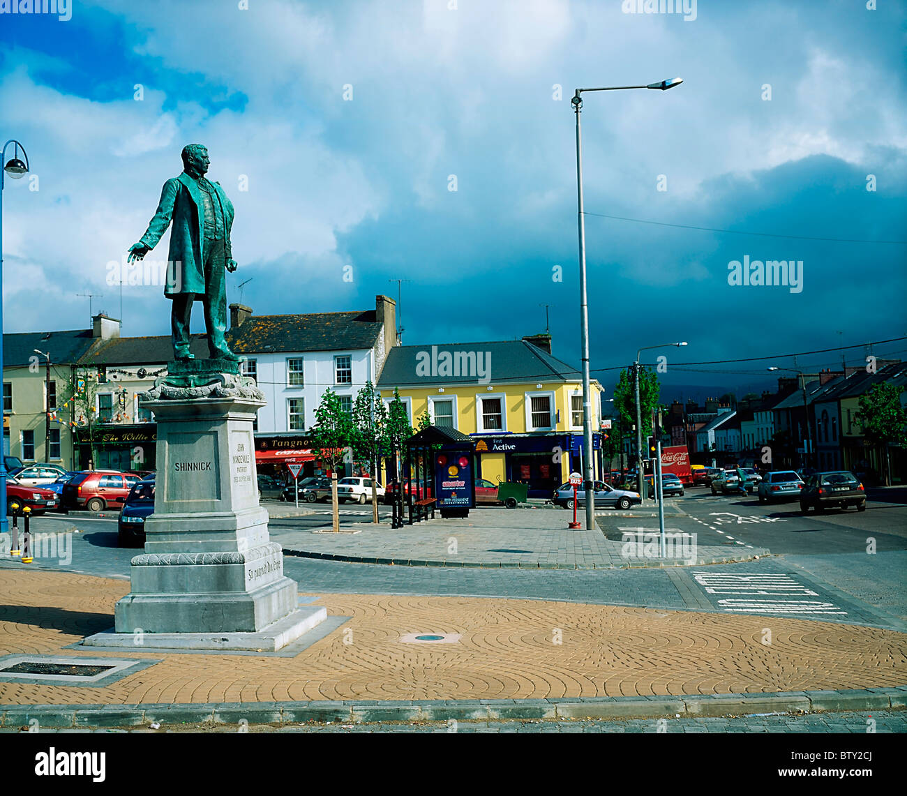 Pat Keoghane StatueMonument · 766 yd
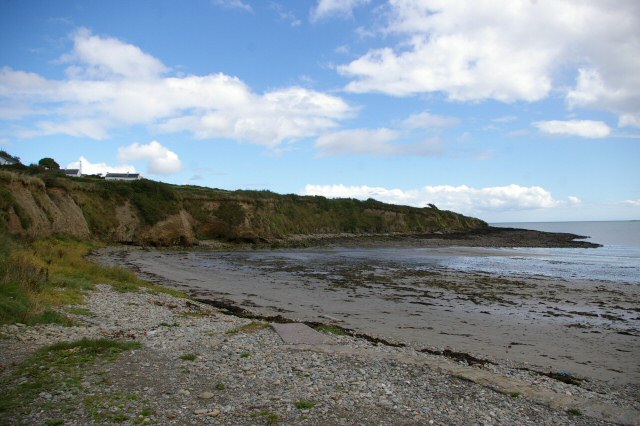 Broad StrandBeach / strand · 973 yd
 Barry's PointHeadland · 979 yd
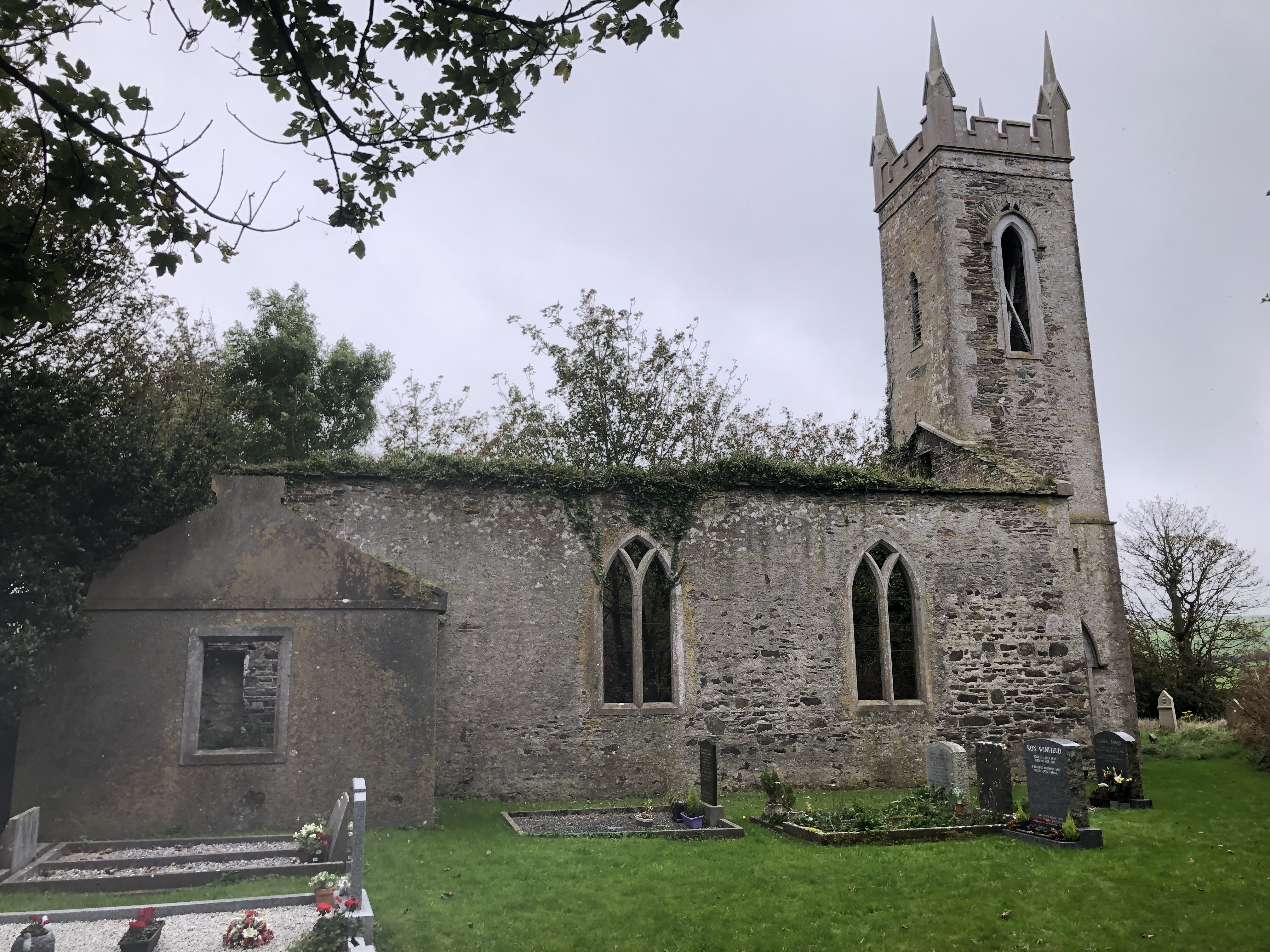 Lislee Court (Site of)Castle, unclassified · 1448 yd
 Lislee Houserectory/glebe/vicarage/curate's house · 1648 yd
 Church in LisleetempleChurch · 1669 yd
 Courtmacsherry LoopWalking route · 1.3 mi
 Chilean myrtleChilean myrtle · 1.5 mi
 CourtCastle, unclassified · 1.5 mi