What is recorded here
The following description is derived from both the published 'Archaeological Inventory of County Louth' (Dublin: Stationery Office, 1986) and the 'Archaeological Survey of County Louth' (Dublin: Stationery Office, 1991). In certain instances the entries have been revised and updated in the light of recent research.
Date of upload/revision: 17 July 2007
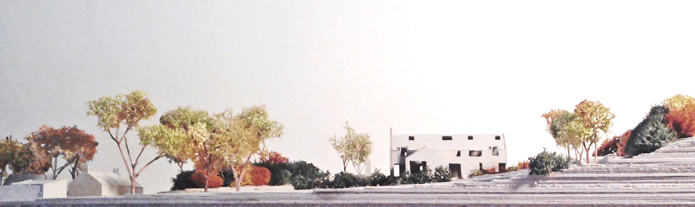
Roughly circular area (int. diams. 24m N-S, 20m E-W) enclosed by earth and stone bank (Wth 3.5m, H c. 1.2m) with internal stone facing from SSE-S. Bank gapped in several places but with no recognisable ancient entrance. No visible fosse.
The monument record does not grant public access. Check the route and ask the landowner before entering private land.
- What survives
- Recorded monument
Places near here
 Fulacht fia in CornamucklaghFulacht fia · 1022 yd
 Settlement cluster in ArdaghySettlement cluster · 1106 yd
 Woodvalehouse · 1359 yd
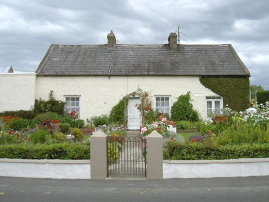 Ivy Cottagehouse · 1374 yd
 Anglesey MountainMountain / peak · 1.0 mi
 Clermont Carn NE TopMountain / peak · 1.3 mi
 Narrow Water KeepHeritage attraction · 1.3 mi
 TOWER-HOUSE AND BAWN: NARROW WATER CASTLE in Narrow WaterTOWER-HOUSE AND BAWN: NARROW WATER CASTLE · 1.3 mi
 Narrow Water WatchtowerVisitor information · 1.3 mi
 Warrenpoint ambushambush · 1.3 mi
 Joanne ReillyMemorial · 1.4 mi
 Narrow Water CastleCastle · 1.5 mi
Other information
Photo: Credit not shown in the picture search · Rights wording not checked; contact us if this picture should be removed