
What is recorded here
Lislea is a subcircular fairy fort on a Galway grassland rise, its double banks and central ditch still marking a space forty metres long. The eastern edge has surrendered to modern fields, yet the western curve remains clear against the distant woodland. People may have lived inside that ring before forgetting the name, or perhaps they only avoided it because the land still belongs to someone older.
On a rise in grassland with woodland visible to W. Subcircular rath (N-S 40m, E-W 32m), in fair condition, defined by two banks and an intervening fosse. The enclosing elements do not survive at E and numerous gaps appear to be modern. A field bank radiates from the monument at E.
The above description is derived from the published 'Archaeological Inventory of County Galway Vol. II - North Galway'. Compiled by Olive Alcock, Kathy de hÓra and Paul Gosling (Dublin: Stationery Office, 1999).
Date of upload: 05 August 2010
The monument record does not grant public access. Check the route and ask the landowner before entering private land.
- What survives
- Recorded monument
Places near here
 CastleCastle, tower house · 821 yd
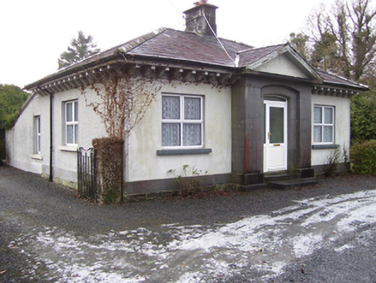 Castlegrove Housegate lodge · 1019 yd
 Enclosure in Beagh (dunmore By.)Enclosure · 1334 yd
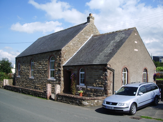 Old R.C. ChapelChapel · 1590 yd
 Enclosure in LissanannyEnclosure · 1604 yd
 Fartamore Castle (ruins)Castle · 1.6 mi
 Mass RockNamed rock · 3.2 mi
 European ashEuropean ash · 3.3 mi
 European YewEuropean Yew · 4.3 mi
 Kilcoona Round TowerHeritage attraction · 9.4 mi
 Otter IslandIslet · 13 mi
 Inis Mhic an TrírIsland · 13 mi
Other information
Photo: Credit not shown in the picture search · Rights wording not checked; contact us if this picture should be removed