What is recorded here
On a low hillock in undulating grassland close to W bank of the River Clare; a railway line runs just outside its E boundary. Marked on 1st ed. of OS 6-inch map as a roofed rectangular building (c. 12m by c. 5m), aligned E-W. All that survives is a section of N wall (L 17.5m, Wth 0.8m, H c. 2.8m). No architectural features are visible. (O'Flanagan 1927, Vol. 1, 27)
The above description is derived from the published 'Archaeological Inventory of County Galway Vol. II - North Galway'. Compiled by Olive Alcock, Kathy de hÓra and Paul Gosling (Dublin: Stationery Office, 1999).
Date of upload: 05 August 2010
Liskeevy Church, a small rectangular stone church, was likely built in the 17th or 18th century; its alignment and construction suggest a simple vernacular ecclesiastical style, and it reflects the historical presence of Christian worship in the rural landscape of the region. The church now lies in ruins, but its location and early map references highlight its former role in the local community.
The monument record does not grant public access. Check the route and ask the landowner before entering private land.
- What survives
- Recorded monument
Places near here
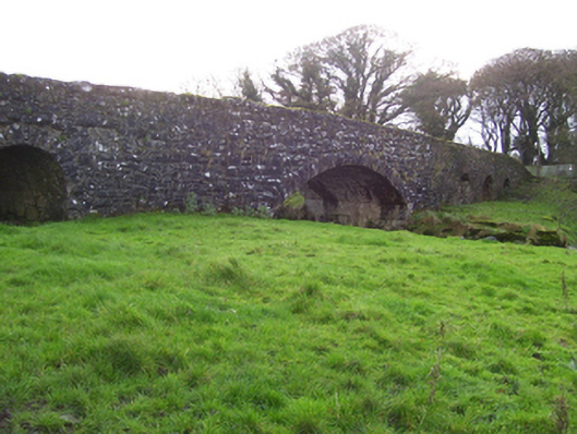 Liskeevy Bridgebridge · 356 yd
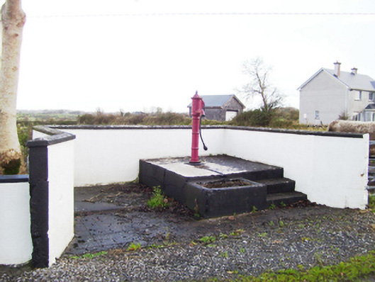 water pumpwater pump · 1243 yd
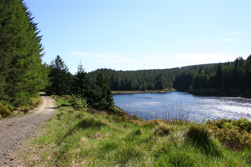 Structure in BanagherStructure · 1365 yd
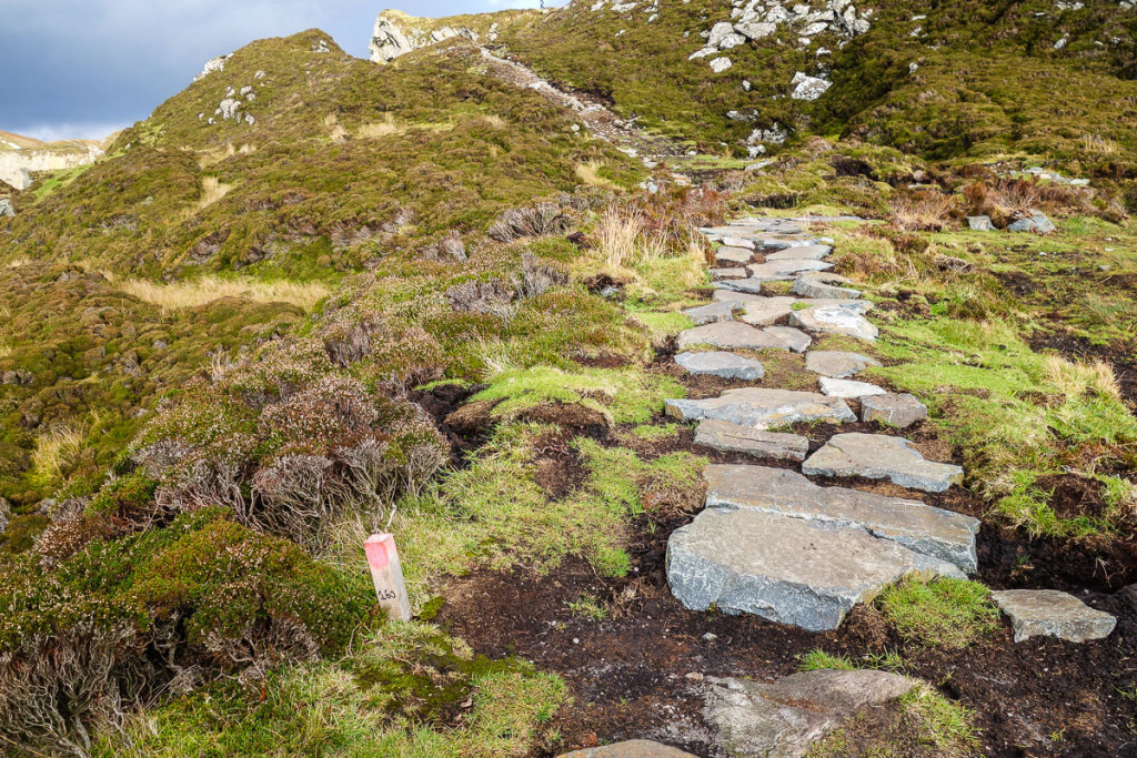 Mass-rock in LiskeevyMass-rock · 1475 yd
 Fartamore Castle (ruins)Castle · 1.7 mi
 Fartamore Castle in ruinsCastle, tower house · 1.7 mi
 European ashEuropean ash · 4.4 mi
 Mass RockNamed rock · 5.1 mi
 KnockmaaWood · 8.5 mi
 Ross Errilly FriaryHeritage attraction · 12 mi
 Otter IslandIslet · 15 mi
 Inis Mhic an TrírIsland · 15 mi