What is recorded here
In gently undulating pastureland. Poorly preserved pear-shaped enclosure (83.5m NNW-SSE; 59.6m NE-SW) defined by a bank and external fosse. The bank is visible from SW through W to NW and from NE to E; the fosse survives from S through W to NW. A gap at N appears to be modern. A field boundary cuts across the monument at S and quarrying has encroached upon it at W and NE.
Compiled by: Galway Archaeological Survey, UCG
Date of upload: 18 December 2017
The monument record does not grant public access. Check the route and ask the landowner before entering private land.
- What survives
- Recorded monument
Places near here
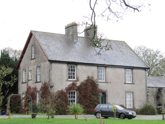 Fynagh Housesteward's house · 692 yd
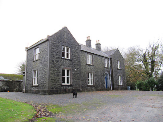 Redmount Hill Housefarm house · 1225 yd
 Redmond HillMountain / peak · 1253 yd
 EnclosureArchaeological place · 1363 yd
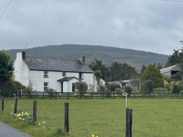 dermot and grainnes bedMonument · 1407 yd
 European ashEuropean ash · 1.5 mi
 Silver FirSilver Fir · 1.9 mi
 Ballymore CastleCastle, tower house · 1.9 mi
 Oghil Castle (in ruins)Castle, tower house · 2.4 mi
 Clonfert CathedralHeritage attraction · 3.2 mi
 Sugarloaf HillMountain / peak · 4.0 mi
 MeelickVisitor information · 4.5 mi