
What is recorded here
Lisinabragh is a lost fairy fort in Monaghan, not a stubborn fact but a shape remembered through water, grass and mapping. The stream still bends around the place where the fort stood, as if the land is keeping the outline alive. Its name changed on later maps, but the valley never stopped repeating the same hidden line.
Situated on a slight rise in the valley of a small meandering N-S stream which curves around it c. 50-80m distant E-S. It is depicted as an oval embanked enclosure (ext. dims c. 35m E-W; c. 20m N-S) on the 1834 edition of the OS 6-inch map where it is described in gothic lettering as ‘Lisinabragh fort’ but this is transformed into a ‘Lisarolagh fort’ (Site of) on the 1907 edition. There is no evidence of a monument just W of a house.
The above description is derived from the published 'Archaeological Inventory of County Monaghan' (Dublin: Stationery Office, 1986). In certain instances the entries have been revised and updated in the light of recent research.
Date of upload/revision: 17 July 2007
No visible surface traces.
The monument record does not grant public access. Check the route and ask the landowner before entering private land.
- What survives
- Recorded monument
Places near here
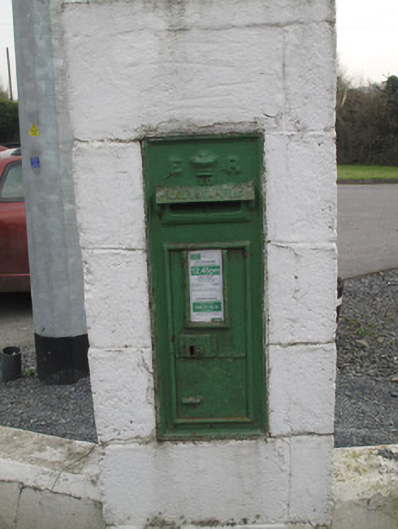 post boxpost box · 341 yd
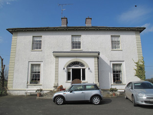 Glebe Houserectory/glebe/vicarage/curate's house · 444 yd
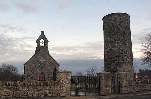 Round TowerRound tower · 547 yd
 Man-made underground passage in CandlefortMan-made underground passage · 773 yd
 CastleCastle, unclassified · 2.9 mi
 Mount AshCastle, motte · 3.1 mi
:no_upscale()/cdn.vox-cdn.com/uploads/chorus_asset/file/25593391/County_Louth_6th.jpg) LouthMountain / peak · 4.6 mi
LouthMountain / peak · 4.6 mi Ballsmill Amenity LandPicnic place · 5.0 mi
 Sky HillMountain / peak · 5.2 mi
 Irish Hunger StrikersMemorial · 6.4 mi
 Dundalk CentralHeritage attraction · 6.7 mi
 Photo GalleryHeritage attraction · 6.7 mi
Other information
Photo: Credit not shown in the picture search · Rights wording not checked; contact us if this picture should be removed